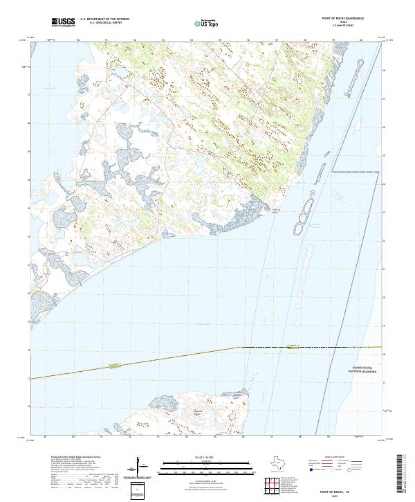
2022 Map of Point of Rocks
USGS Topo · Published 2022About this map
Baffin Bay and its connection to the Intracoastal Waterway define this coastal landscape on the boundary of Kleberg and Kenedy Counties. The sheet captures a largely undeveloped shoreline where the mainland meets the hypersaline waters of the Laguna Madre system. Prominent coastal landmarks such as Point of Rocks and Point Peñascal serve as vital reference points for navigators and local naturalists.
Find a feature on this map
9 named features on this map. Tap any name to fly to it.
Don’t see what you’re looking for? This feature index may not catch every label — zoom into the map to look around manually.
Map Details
Editions of this 2022 Point of Rocks Map
This is the sole edition of this map. No revisions or reprints were ever made.
Other maps of this area

1928 · Sarita
USGS Topo · 1:125,000

1950 · Corpus Christi
USGS Topo · 1:250,000

1951 · South Bird Island
USGS Topo · 1:24,000

1951 · South Bird Island SE
USGS Topo · 1:24,000

1951 · South Bird Island NW
USGS Topo · 1:24,000

1951 · Point Of Rocks
USGS Topo · 1:24,000

1951 · Kleberg Point
USGS Topo · 1:24,000

1951 · Riviera Beach NE
USGS Topo · 1:24,000

1951 · Sarita 4 NE
USGS Topo · 1:24,000

1951 · South Bird Island
USGS Topo · 1:62,500