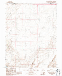
1986 Map of Point of Rocks West
USGS Topo · Published 1986About this map
The Dirty Devil River carves through the southeast corner of this Emery and Wayne County landscape, where the high desert terrain is defined by deep drainages and sharp escarpments. This 1986 survey documents a network of 4wd routes that navigate the complex topography, connecting remote landmarks such as Point of Rocks to the intricate canyon systems below. The map reveals the stark physical geography of the region, where broad expanses like Little Antelope Valley and Blackburn Draw provide the primary corridors for travel. Further south, the terrain becomes increasingly fractured as Buck Canyon and Pasture Canyon descend toward the river, illustrating the erosional patterns characteristic of this part of southern Utah.
Find a feature on this map
8 named features on this map. Tap any name to fly to it.
Don’t see what you’re looking for? This feature index may not catch every label — zoom into the map to look around manually.
Map Details
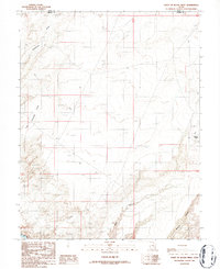
Editions of this 1986 Point of Rocks West Map
2 editions found
Other maps of this area

1885 · San Rafael
USGS Topo · 1:250,000

1953 · Temple Mtn
USGS Topo · 1:62,500

1954 · Stinking Springs Creek 4 SW
USGS Topo · 1:24,000

1954 · Stinking Spring Creek 4 SE
USGS Topo · 1:24,000

1954 · Mt. Ellen 1 NW
USGS Topo · 1:24,000

1954 · Mt. Ellen 1 SW
USGS Topo · 1:24,000

1956 · Salina
USGS Topo · 1:250,000

1960 · Salina
USGS Topo · 1:250,000

1962 · Salina
USGS Topo · 1:250,000

1963 · Robbers Roost Canyon
USGS Topo · 1:62,500