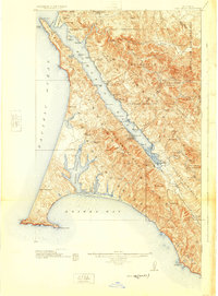
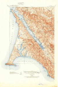
1918 Map of Point Reyes
USGS Topo · Published 1925About this map
Punta de los Reyes dominates the Pacific coastline in this survey, defined by the sharp hook of Point Reyes and the protected waters of Drakes Bay. The coastal economy is clearly visible through the numerous ranching outposts like Pierce Ranch and Adams Ranch, alongside specialized operations such as the Trout Farm near Inverness Park. Transport and communication infrastructure of the era is anchored by the Northwestern Pacific RR, which skirts the eastern shore of Tomales Bay, serving small landings and stations including Hamlet, Marshall, and the oddly named Bivalve. Interior land use is marked by extensive Mexican-era land grant boundaries, such as Soulajule (Vasquez) and Nicasio (Black). Educational hubs are scattered throughout the rural landscape, from the Halleck School to the Salmon Creek School, reflecting a settled agricultural community before the area became primarily a recreational and conservation landscape.
Find a feature on this map
68 named features on this map. Tap any name to fly to it.
Don’t see what you’re looking for? This feature index may not catch every label — zoom into the map to look around manually.
Map Details
Editions of this 1918 Point Reyes Map
6 editions found
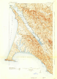
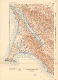
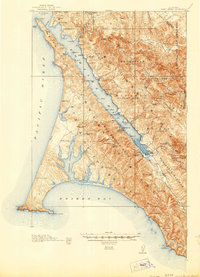
Other maps of this area

1897 · Tamalpais
USGS Topo · 1:62,500

1914 · Petaluma
USGS Topo · 1:62,500

1916 · Santa Rosa
USGS Topo · 1:62,500

1916 · Point Reyes
USGS Topo · 1:48,000

1918 · Point Reyes
USGS Topo · 1:62,500

1935 · Sebastopol
USGS Topo · 1:48,000

1941 · Tamalpais
USGS Topo · 1:62,500

1942 · Sebastopol
USGS Topo · 1:62,500

1942 · Petaluma
USGS Topo · 1:62,500

1942 · Bodega Head
USGS Topo · 1:24,000