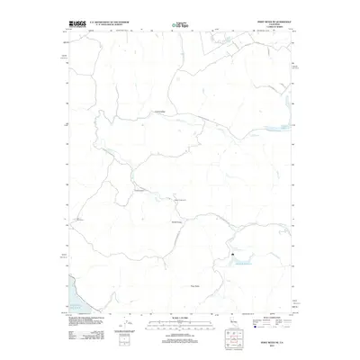
2012 Map of Point Reyes NE
USGS Topo · Published 2012About this map
Chileno Valley defines the northern reaches of this Sonoma County landscape, where the headwaters of Chileno Cr flow toward the coastal drainage system. The area's agricultural heritage is anchored by long-standing operations like the Walker Creek Ranch and Kahn Alley Ranch, reflecting the rural character of the region. Significant water management features dominate the southern portion of the map, including the Soulajule Reservoir and the Arroyo Sausal Reservoir, which capture runoff from the surrounding hills.
Find a feature on this map
24 named features on this map. Tap any name to fly to it.
Don’t see what you’re looking for? This feature index may not catch every label — zoom into the map to look around manually.
Map Details
Editions of this 2012 Point Reyes NE Map
This is the sole edition of this map. No revisions or reprints were ever made.
Other maps of this area

1914 · Petaluma
USGS Topo · 1:62,500

1916 · Santa Rosa
USGS Topo · 1:62,500

1916 · Point Reyes
USGS Topo · 1:48,000

1918 · Point Reyes
USGS Topo · 1:62,500

1935 · Sebastopol
USGS Topo · 1:48,000

1942 · Sebastopol
USGS Topo · 1:62,500

1942 · Petaluma
USGS Topo · 1:62,500

1944 · Santa Rosa
USGS Topo · 1:62,500

1947 · Santa Rosa
USGS Topo · 1:250,000

1949 · Santa Rosa
USGS Topo · 1:250,000