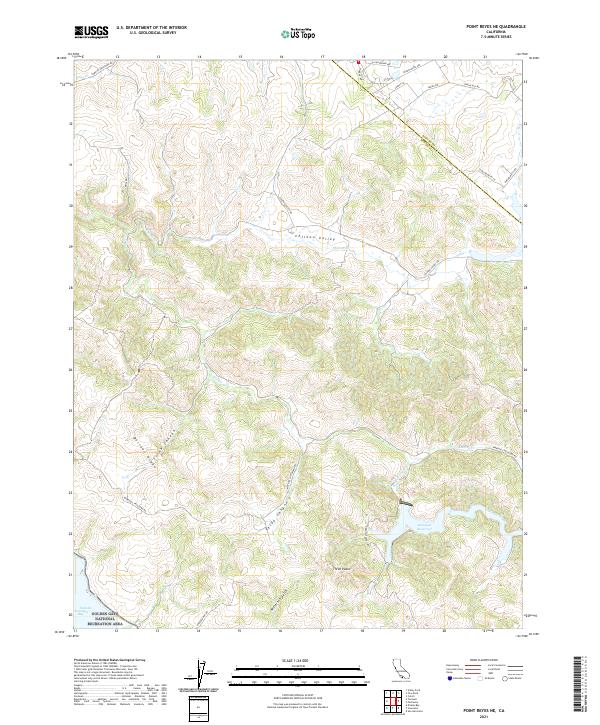
2021 Map of Point Reyes NE
USGS Topo · Published 2021About this map
Chileno Valley forms a prominent agricultural corridor through the Marin and Sonoma County borderlands, anchored by the meandering Chileno Cr. This 2021 survey illustrates the contemporary landscape where the coastal hills meet protected inland territories. The southern portion of the map is dominated by the sprawling Golden Gate National Recreation Area, protecting the drainages of Millerton Gulch and the rugged heights of Bolinas Ridge. To the east, the Soulajule Reservoir acts as a significant hydrologic feature, capturing the waters of Arroyo Sausal. This map details a high-relief terrain of canyons and peaks, such as Frink Canyon and the distinctive Three Peaks, while tracing rural routes like Tomales Petaluma Rd and Chileno Valley Rd that have long connected these northern California ranching communities.
Find a feature on this map
34 named features on this map. Tap any name to fly to it.
Don’t see what you’re looking for? This feature index may not catch every label — zoom into the map to look around manually.
Map Details
Editions of this 2021 Point Reyes NE Map
This is the sole edition of this map. No revisions or reprints were ever made.
Other maps of this area

1914 · Petaluma
USGS Topo · 1:62,500

1916 · Santa Rosa
USGS Topo · 1:62,500

1916 · Point Reyes
USGS Topo · 1:48,000

1918 · Point Reyes
USGS Topo · 1:62,500

1935 · Sebastopol
USGS Topo · 1:48,000

1942 · Sebastopol
USGS Topo · 1:62,500

1942 · Petaluma
USGS Topo · 1:62,500

1944 · Santa Rosa
USGS Topo · 1:62,500

1947 · Santa Rosa
USGS Topo · 1:250,000

1949 · Santa Rosa
USGS Topo · 1:250,000