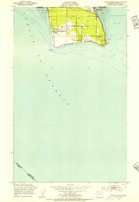
1952 Map of Point Roberts
USGS Topo · Published 1954About this map
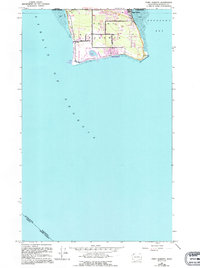
The unique geographic isolation of Point Roberts is clearly defined in this early 1950s survey, showing the exclave bounded by the Canada United States border to the north and the waters of the Strait of Georgia and Boundary Bay to the south. The settlement pattern is concentrated along the coastlines, with Maple Beach at the northeast corner and South Beach at the southern tip. Local social and infrastructure markers are present, including the Northwest Grange, a Cem, and a Race Track near the international line.
Find a feature on this map
30 named features on this map. Tap any name to fly to it.
Don’t see what you’re looking for? This feature index may not catch every label — zoom into the map to look around manually.
Map Details
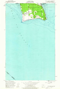
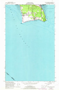
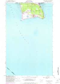
Editions of this 1952 Point Roberts Map
5 editions found
Other maps of this area

1957 · Victoria
USGS Topo · 1:250,000

1973 · Sucia Island
USGS Topo · 1:24,000

1975 · Bellingham
USGS Topo · 1:100,000
1981 · Roche Harbor
USGS Topo · 1:100,000
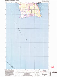
1997 · Point Roberts
USGS Topo · 1:24,000
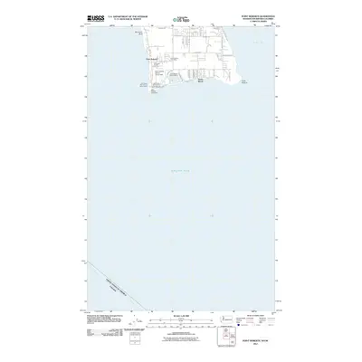
2011 · Point Roberts
USGS Topo · 1:24,000
2011 · Sucia Island
USGS Topo · 1:24,000
2014 · Point Roberts
USGS Topo · 1:24,000
2014 · Point Roberts OE N
USGS Topo · 1:24,000
2014 · Strait of Georgia (All Water)
USGS Topo · 1:24,000