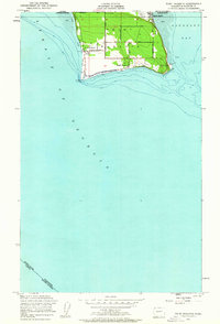
1952 Map of Point Roberts
USGS Topo · Published 1963About this map
The unique geography of Point Roberts is defined by its position as an American pene-exclave, separated from the mainland United States by the 49th parallel. This 1952 survey details the small community bounded by Boundary Bay and the Strait of Georgia, highlighting the international border crossing at U S Customs on Roosevelt Road. The landscape is largely comprised of small residential clusters like Maple Beach and South Beach, connected by a network of local thoroughfares including Marine Drive and Gulf Road. Maritime navigation is anchored by the Pt Roberts Lighthouse at the southwestern tip, while social life in the mid-century period centered around landmarks like the Northwest Grange. The map provides a clear look at the township's layout before extensive modern development altered the shoreline and internal road structures.
Find a feature on this map
22 named features on this map. Tap any name to fly to it.
Don’t see what you’re looking for? This feature index may not catch every label — zoom into the map to look around manually.
Map Details
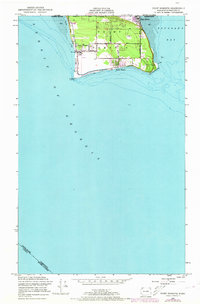
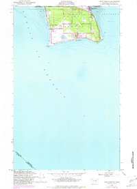
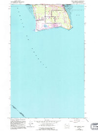
Editions of this 1952 Point Roberts Map
5 editions found
Other maps of this area
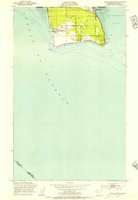
1952 · Point Roberts
USGS Topo · 1:24,000

1957 · Victoria
USGS Topo · 1:250,000

1973 · Sucia Island
USGS Topo · 1:24,000

1975 · Bellingham
USGS Topo · 1:100,000
1981 · Roche Harbor
USGS Topo · 1:100,000
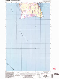
1997 · Point Roberts
USGS Topo · 1:24,000
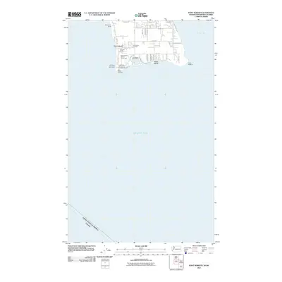
2011 · Point Roberts
USGS Topo · 1:24,000
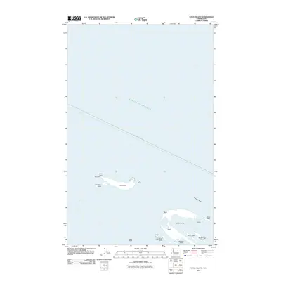
2011 · Sucia Island
USGS Topo · 1:24,000
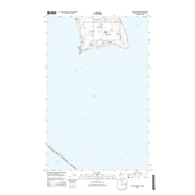
2014 · Point Roberts
USGS Topo · 1:24,000
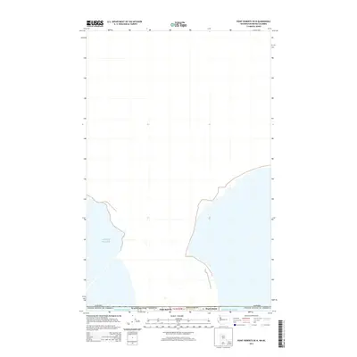
2014 · Point Roberts OE N
USGS Topo · 1:24,000