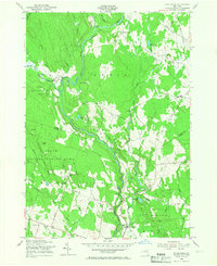
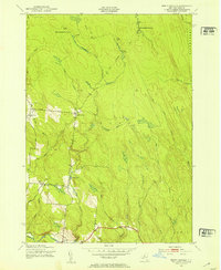
1955 Map of Point Rock
USGS Topo · Published 1967About this map
Prussian Settlement and a series of historic mill sites characterize the rugged northern landscape along the Lewis and Oneida County line. This 1955 survey records the rural transition of central New York as extensive tracts are identified as State Reforestation Areas. Water power from the East Branch Fish Creek and its tributaries supported localized industry at Swancott Mill, Freeman Mill, Parson Mills, and Fey Mills. The map provides significant genealogical value through the documentation of the St Anns Ch and St Anns Cem in the Annsville area, along with multiple district schools like School No 6 and School No 14. To the south, the settlement of Point Rock serves as a local hub near Camp Kingsley, while the terrain is defined by prominent features such as Finn Hill and Bowman Hill.
Find a feature on this map
57 named features on this map. Tap any name to fly to it.
Don’t see what you’re looking for? This feature index may not catch every label — zoom into the map to look around manually.
Map Details
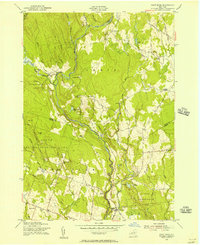
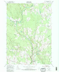
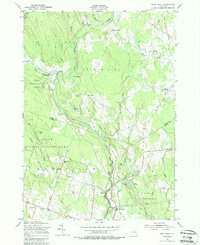
Editions of this 1955 Point Rock Map
4 editions found
Other maps of this area

1904 · Boonville
USGS Topo · 1:62,500

1905 · Port Leyden
USGS Topo · 1:62,500

1905 · Taberg
USGS Topo · 1:62,500

1906 · Highmarket
USGS Topo · 1:62,500

1907 · Port Leyden
USGS Topo · 1:62,500

1940 · Port Leyden
USGS Topo · 1:62,500

1943 · East Florence
USGS Topo · 1:31,680

1943 · Camden East
USGS Topo · 1:31,680

1943 · Lee Center
USGS Topo · 1:31,680
1943 · North Osceola
USGS Topo · 1:24,000