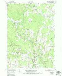
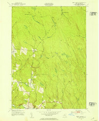
1955 Map of Point Rock
USGS Topo · Published 1988About this map
The East Branch Fish Creek and its many tributaries, including Beaver Meadow Brook and Rock Creek, carve a detailed drainage pattern through this corner of New York. The landscape is defined by the transition from the mid-century State Reforestation Area to small pockets of industry and settlement. Industrial history is evident in the string of small mills along these waterways, such as Swancott Mill, Freeman Mill, Parson Mill, and Fey Mill, which speak to the local timber and water-power economy of the era. Cultural enclaves like the Prussian Settlement and rural church sites like St Anns Ch anchor the local geography. Small family-named hills and clearings, including Finn Hill and Bowman Hill, rise above the creek valleys, while numerous small schools like School No 8 and School No 11 represent the dispersed educational infrastructure of the mid-1950s.
Find a feature on this map
51 named features on this map. Tap any name to fly to it.
Don’t see what you’re looking for? This feature index may not catch every label — zoom into the map to look around manually.
Map Details
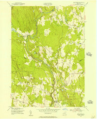
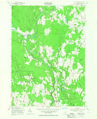
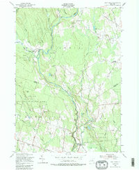
Editions of this 1955 Point Rock Map
4 editions found
Other maps of this area

1904 · Boonville
USGS Topo · 1:62,500

1905 · Port Leyden
USGS Topo · 1:62,500

1905 · Taberg
USGS Topo · 1:62,500

1906 · Highmarket
USGS Topo · 1:62,500

1907 · Port Leyden
USGS Topo · 1:62,500

1940 · Port Leyden
USGS Topo · 1:62,500

1943 · East Florence
USGS Topo · 1:31,680

1943 · Camden East
USGS Topo · 1:31,680

1943 · Lee Center
USGS Topo · 1:31,680
1943 · North Osceola
USGS Topo · 1:24,000