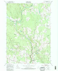
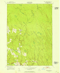
1955 Map of Point Rock
USGS Topo · Published 1988About this map
East Branch Fish Creek winds through this central New York landscape, which by the mid-1950s was defined by large swaths of State Reforestation Area spanning the border of Lewis and Oneida counties. The map documents a scattered mill economy along the waterways, with several named sites including Swancott Mill, Freeman Mill, and Parson Mill following the creek's path. These small industry nodes, alongside the Prussian Settlement to the east, suggest a transition from early industrial activity to conservation land use.
Find a feature on this map
50 named features on this map. Tap any name to fly to it.
Don’t see what you’re looking for? This feature index may not catch every label — zoom into the map to look around manually.
Map Details
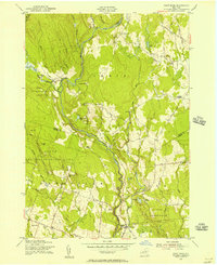
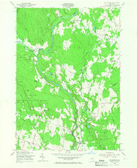
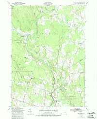
Editions of this 1955 Point Rock Map
4 editions found
Other maps of this area

1904 · Boonville
USGS Topo · 1:62,500

1905 · Port Leyden
USGS Topo · 1:62,500

1905 · Taberg
USGS Topo · 1:62,500

1906 · Highmarket
USGS Topo · 1:62,500

1907 · Port Leyden
USGS Topo · 1:62,500

1940 · Port Leyden
USGS Topo · 1:62,500

1943 · East Florence
USGS Topo · 1:31,680

1943 · Camden East
USGS Topo · 1:31,680

1943 · Lee Center
USGS Topo · 1:31,680
1943 · North Osceola
USGS Topo · 1:24,000