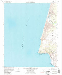
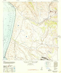
1958 Map of Point Sal
USGS Topo · Published 1980About this map
The Santa Maria River forms a natural dividing line between San Luis Obispo and Santa Barbara counties as it meets the Pacific Ocean in this late-1950s survey. The coastal landscape is defined by massive Sand Dunes and the industrial footprint of the Guadalupe Oil Field, where an Oil Sump and various Jeep Trails mark the exploitation of the region's natural resources.
Find a feature on this map
24 named features on this map. Tap any name to fly to it.
Don’t see what you’re looking for? This feature index may not catch every label — zoom into the map to look around manually.
Map Details
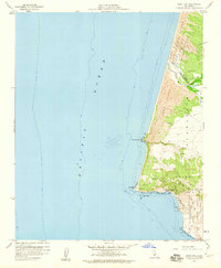
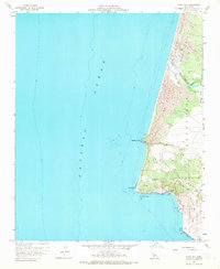
Editions of this 1958 Point Sal Map
3 editions found
Other maps of this area

1897 · Port Harford
USGS Topo · 1:62,500

1897 · Arroyo Grande
USGS Topo · 1:62,500

1900 · San Luis
USGS Topo · 1:125,000

1905 · Guadalupe
USGS Topo · 1:125,000

1941 · Port San Luis
USGS Topo · 1:62,500

1942 · Guadalupe
USGS Topo · 1:125,000

1942 · Arroyo Grande
USGS Topo · 1:62,500

1942 · Point Sal
USGS Topo · 1:62,500
1945 · Port San Luis
USGS Topo · 1:62,500
1947 · Casmalia
USGS Topo · 1:24,000