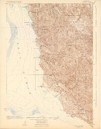
1925 Map of Point Sur
USGS Topo · Published 1932About this map
The dramatic coastline of the Santa Lucia Range defines this coastal survey, where the terrestrial and maritime worlds collide at the Pacific Ocean. Before the modernization of the coast road, maritime activity centered on industrial outposts like Notleys Landing and Bixby Landing, where products from the interior were shipped from the steep cliffs. Inland, the landscape is shaped by massive ranch holdings including Corona Ranch, San Francisquito Ranch, and Molera Ranch, reflecting a transitional era of land use between early Spanish grants and developing forest management within the Santa Barbara National Forest.
Find a feature on this map
75 named features on this map. Tap any name to fly to it.
Don’t see what you’re looking for? This feature index may not catch every label — zoom into the map to look around manually.
Map Details
Editions of this 1925 Point Sur Map
4 editions found
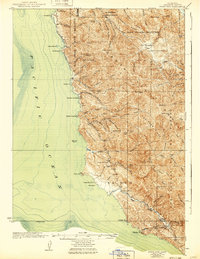
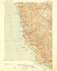
Other maps of this area

1910 · Salinas
USGS Topo · 1:31,680

1912 · Salinas
USGS Topo · 1:62,500

1913 · Monterey
USGS Topo · 1:62,500

1918 · Point Sur
USGS Topo · 1:62,500

1920 · Jamesburg
USGS Topo · 1:48,000

1921 · Jamesburg
USGS Topo · 1:62,500

1921 · Lucia
USGS Topo · 1:62,500

1925 · Point Sur
USGS Topo · 1:62,500

1939 · Jamesburg
USGS Topo · 1:62,500

1940 · Salinas
USGS Topo · 1:62,500