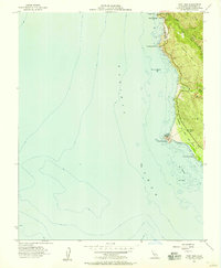
1956 Map of Point Sur
USGS Topo · Published 1957About this map
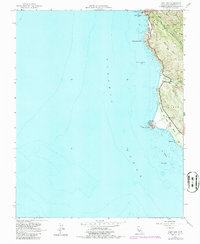
The Point Sur Lighthouse Reservation dominates this mid-century stretch of the Monterey coast, marking the prominent volcanic rock that anchors the shoreline. Just inland, the landscape of El Sur is defined by the sharp rise of Sierra Hill and Mescal Ridge, where deep canyons carved by Bixby Creek and the Little Sur River meet the ocean. The coastal infrastructure of the 1950s is documented here through the presence of the Bixby Bridge and the remains of earlier industry at Bixby Landing.
Find a feature on this map
22 named features on this map. Tap any name to fly to it.
Don’t see what you’re looking for? This feature index may not catch every label — zoom into the map to look around manually.
Map Details
Editions of this 1956 Point Sur Map
5 editions found
Other maps of this area

1918 · Point Sur
USGS Topo · 1:62,500

1925 · Point Sur
USGS Topo · 1:62,500

1947 · Point Sur
USGS Topo · 1:62,500

1948 · Santa Cruz
USGS Topo · 1:250,000

1955 · Santa Cruz
USGS Topo · 1:250,000
1956 · Big Sur
USGS Topo · 1:24,000
1956 · Soberanes Point
USGS Topo · 1:24,000
1956 · Pfeiffer Point
USGS Topo · 1:24,000
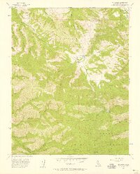
1956 · Mt. Carmel
USGS Topo · 1:24,000
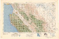
1957 · Santa Cruz
USGS Topo · 1:250,000