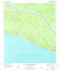
1970 Map of Point Washington
USGS Topo · Published 1972About this map
Point Washington and the surrounding Walton County coastline are defined by a unique network of coastal dune lakes and the engineered path of the Intracoastal Waterway as it appeared in the early 1970s. This survey captures the transition from the cypress-laden margins of Devils Swamp and Tucker Bayou to the emerging Gulf-side developments of Seagrove Beach and Inlet Beach. The landscape is dominated by the hydrology of the Panhandle, where numerous freshwater bodies like Eastern Lake, Deer Lake, and Camp Creek Lake sit just behind the dunes of the Gulf of Mexico. The map documents a period before heavy intensification, showing the sparse road network centered on Route 98 and 30a, as well as the survey landmark at Pt Washington Base A. The drainage patterns of Peach Creek and Roaring Creek illustrate the natural flow into the bay systems before the coastal landscape was further altered by modern infrastructure.
Find a feature on this map
17 named features on this map. Tap any name to fly to it.
Don’t see what you’re looking for? This feature index may not catch every label — zoom into the map to look around manually.
Map Details
Editions of this 1970 Point Washington Map
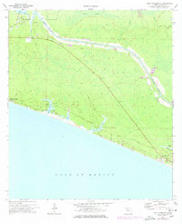
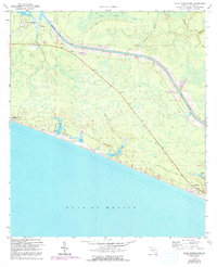
Other maps of this area

1936 · Point Washington
USGS Topo · 1:48,000

1939 · Point Washington
USGS Topo · 1:62,500

1943 · Laguna Beach
USGS Topo · 1:31,680

1943 · Seminole Hills
USGS Topo · 1:24,000

1944 · Seminole Hills
USGS Topo · 1:31,680

1944 · Bruce
USGS Topo · 1:24,000

1945 · Bruce
USGS Topo · 1:31,680

1954 · Tallahassee
USGS Topo · 1:250,000

1957 · Pensacola
USGS Topo · 1:250,000

1959 · Tallahassee
USGS Topo · 1:250,000