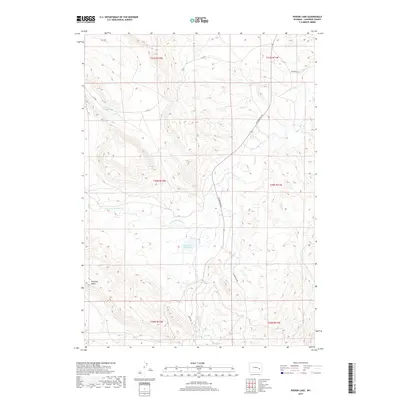
2017 Map of Poison Lake
USGS Topo · Published 2017About this map
Emigrant Trl cuts across the northeastern corner of this Wyoming landscape, marking a corridor of historical movement through the high country of Converse County. The terrain is defined by the drainage networks of La Bonte Cr and its tributaries, including the W Fork La Bonte Cr and Mill Cr. Near the center of the map, the Saddleback Reservoir sits within a basin of high ridges, while Poison Lake lies further northwest. The local transit infrastructure is sparse, concentrated primarily along Esterbrook Rd and Braae Rd, which navigate the elevation changes near Manning Ridge. This 2017 survey reflects a modern view of a largely uninhabited ranching and watershed region, preserving the names of water sources and family-named landmarks like Braae and Manning that have long oriented travelers in this part of the Laramie Range foothills.
Find a feature on this map
16 named features on this map. Tap any name to fly to it.
Don’t see what you’re looking for? This feature index may not catch every label — zoom into the map to look around manually.
Map Details
Editions of this 2017 Poison Lake Map
This is the sole edition of this map. No revisions or reprints were ever made.
Other maps of this area

1943 · Esterbrook
USGS Topo · 1:62,500

1945 · Esterbrook
USGS Topo · 1:62,500

1949 · Irvine
USGS Topo · 1:24,000

1949 · Poison Lake
USGS Topo · 1:24,000

1949 · Dilts Ranch
USGS Topo · 1:24,000

1949 · Chalk Buttes
USGS Topo · 1:24,000

1950 · Poison Lake
USGS Topo · 1:24,000
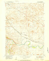
1950 · Irvine
USGS Topo · 1:24,000
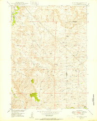
1950 · Dilts Ranch
USGS Topo · 1:24,000
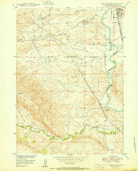
1950 · Chalk Buttes
USGS Topo · 1:24,000