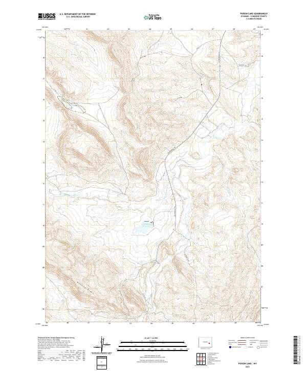
2021 Map of Poison Lake
USGS Topo · Published 2021About this map
Emigrant Trl cuts across the northeast corner of this Converse County landscape, marking the enduring path of westward travel through Wyoming's high country. This modern survey illustrates a topography of high ridges and drainage networks, anchored by Manning Ridge in the south and the namesake Poison Lake to the northwest. The presence of Esterbrook Rd and Braae Rd provides context for local ranching and transit through the high-elevation terrain.
Find a feature on this map
17 named features on this map. Tap any name to fly to it.
Don’t see what you’re looking for? This feature index may not catch every label — zoom into the map to look around manually.
Map Details
Editions of this 2021 Poison Lake Map
This is the sole edition of this map. No revisions or reprints were ever made.
Other maps of this area

1943 · Esterbrook
USGS Topo · 1:62,500

1945 · Esterbrook
USGS Topo · 1:62,500

1949 · Irvine
USGS Topo · 1:24,000

1949 · Poison Lake
USGS Topo · 1:24,000

1949 · Dilts Ranch
USGS Topo · 1:24,000

1949 · Chalk Buttes
USGS Topo · 1:24,000

1950 · Poison Lake
USGS Topo · 1:24,000
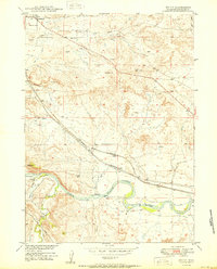
1950 · Irvine
USGS Topo · 1:24,000
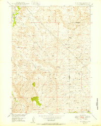
1950 · Dilts Ranch
USGS Topo · 1:24,000
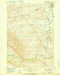
1950 · Chalk Buttes
USGS Topo · 1:24,000