
1949 Map of Poison Lake
USGS Topo · Published 1967About this map
Historical ranching operations and frontier-era sites define this mid-century survey of the high plains in Converse County. The land is shaped by the drainage of La Bonte Creek and its tributary, West Fork La Bonte Creek, which support established homesteads like the Nunn Ranch, Norton Ranch, and Willox Ranch. In the north, the map documents significant cultural markers of the Old West, including the Site of Old La Bonte Stage Station and the Site of Old Camp Marshall. These features, along with the White School, suggest a landscape where early pioneer infrastructure persisted alongside the evolving ranching economy. The high ground of Manning Ridge and peaks like VABM 5979 Mahogany overlook a network of irrigation ditches and seasonal water sources like Poison Lake.
Find a feature on this map
21 named features on this map. Tap any name to fly to it.
Don’t see what you’re looking for? This feature index may not catch every label — zoom into the map to look around manually.
Map Details
Editions of this 1949 Poison Lake Map
This is the sole edition of this map. No revisions or reprints were ever made.
Other maps of this area

1943 · Esterbrook
USGS Topo · 1:62,500

1945 · Esterbrook
USGS Topo · 1:62,500

1949 · Irvine
USGS Topo · 1:24,000

1949 · Dilts Ranch
USGS Topo · 1:24,000

1949 · Chalk Buttes
USGS Topo · 1:24,000

1950 · Poison Lake
USGS Topo · 1:24,000
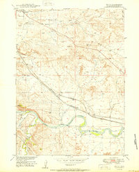
1950 · Irvine
USGS Topo · 1:24,000
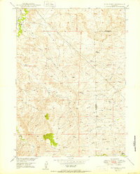
1950 · Dilts Ranch
USGS Topo · 1:24,000
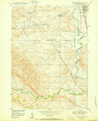
1950 · Chalk Buttes
USGS Topo · 1:24,000

1954 · Torrington
USGS Topo · 1:250,000