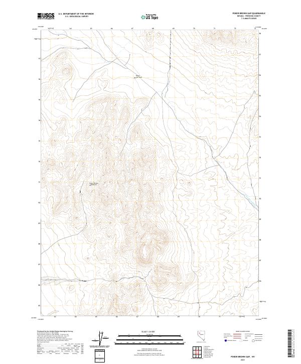
2021 Map of Poker Brown Gap
USGS Topo · Published 2021About this map
Poker Brown Mountains dominate this high-desert landscape in Pershing County, centered on the distinctive Poker Brown Gap. The terrain is defined by complex contour lines and intermittent drainage patterns typical of the Great Basin, notably the Poker Brown Wash which threads through the eastern portion of the quadrangle. This 2021 survey illustrates a land largely managed through the Public Land Survey System, with the map clearly delineating the boundaries for townships t32n r30e, t32n r31e, t31n r30e, and t31n r31e. The lack of modern development or named settlements highlights the area's isolation and its character as a preserved interior basin environment, where natural topographical features remain the primary landmarks for navigation and land management.
Find a feature on this map
8 named features on this map. Tap any name to fly to it.
Don’t see what you’re looking for? This feature index may not catch every label — zoom into the map to look around manually.
Map Details
Editions of this 2021 Poker Brown Gap Map
This is the sole edition of this map. No revisions or reprints were ever made.
Other maps of this area

1931 · Lovelock
USGS Topo · 1:250,000

1935 · Lovelock
USGS Topo · 1:250,000

1955 · Lovelock
USGS Topo · 1:250,000

1956 · Oreana
USGS Topo · 1:62,500

1959 · Lovelock
USGS Topo · 1:250,000

1971 · Majuba Mtn
USGS Topo · 1:24,000

1971 · Poker Brown
USGS Topo · 1:24,000

1981 · Scossa
USGS Topo · 1:24,000

1981 · Placerites
USGS Topo · 1:24,000

1981 · Natchez Spring
USGS Topo · 1:24,000