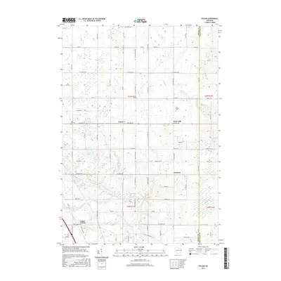
2015 Map of Poland
USGS Topo · Published 2015About this map
Poland and Henrysville anchor this rural landscape in eastern Wisconsin, where the terrain is defined by a dense network of country roads and small glacial lakes. The area is marked by a legacy of local parishes and family burials, including Saint Josephs Cem, Saint Marys Cem, and Lilly Lake Cem, which speak to the deep-rooted community history of the region. A series of small water bodies like Lilly Lake, Middle Lake, and Third Lake create a distinct cluster in the western portion of the quadrangle.
Find a feature on this map
78 named features on this map. Tap any name to fly to it.
Don’t see what you’re looking for? This feature index may not catch every label — zoom into the map to look around manually.
Map Details
Editions of this 2015 Poland Map
This is the sole edition of this map. No revisions or reprints were ever made.
Other maps of this area

1952 · Casco
USGS Topo · 1:62,500

1954 · Kewaunee
USGS Topo · 1:62,500

1954 · Denmark
USGS Topo · 1:62,500

1954 · New Franken
USGS Topo · 1:62,500

1954 · Green Bay East
USGS Topo · 1:24,000

1954 · Manitowoc
USGS Topo · 1:250,000

1954 · Bellevue
USGS Topo · 1:24,000

1958 · Manitowoc
USGS Topo · 1:250,000

1978 · Denmark
USGS Topo · 1:24,000

1978 · Poland
USGS Topo · 1:24,000