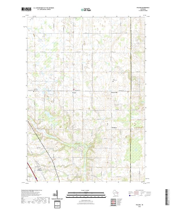
2022 Map of Poland
USGS Topo · Published 2022About this map
Poland and Henrysville anchor this rural landscape in eastern Wisconsin, where the grid of agricultural roads meets the meandering courses of Baird Cr and the Neshota River. The map documents a community defined by its parish cemeteries, including Saint Marys Cem and Saint Josephs Cem, alongside the Our Saviors of Eaton Cem. These sites, along with hamlets like Buckman and Langes Corners, reflect the generational settlement patterns of Brown County.
Find a feature on this map
79 named features on this map. Tap any name to fly to it.
Don’t see what you’re looking for? This feature index may not catch every label — zoom into the map to look around manually.
Map Details
Editions of this 2022 Poland Map
This is the sole edition of this map. No revisions or reprints were ever made.
Other maps of this area

1952 · Casco
USGS Topo · 1:62,500

1954 · Kewaunee
USGS Topo · 1:62,500

1954 · Denmark
USGS Topo · 1:62,500

1954 · New Franken
USGS Topo · 1:62,500

1954 · Green Bay East
USGS Topo · 1:24,000

1954 · Manitowoc
USGS Topo · 1:250,000

1954 · Bellevue
USGS Topo · 1:24,000

1958 · Manitowoc
USGS Topo · 1:250,000

1978 · Denmark
USGS Topo · 1:24,000

1978 · Poland
USGS Topo · 1:24,000