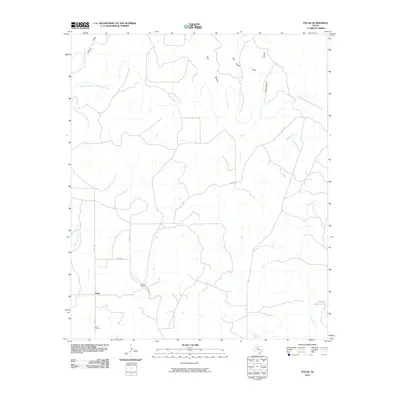
2010 Map of Polar
USGS Topo · Published 2010About this map
The Double Mountain Fork Brazos River carves through this West Texas landscape, defining a region where cattle ranching and deep-rooted family operations dominate the terrain. At the heart of the area, the small community of Polar is anchored by the Polar Cemetery, a site of significant interest for genealogists tracing early settlers of Kent County. The map details the transition from high plains to the breaks of the river, revealing how local hydrology—evidenced by named features like McKenzie Creek and Joe Smith Draw—governs the layout of ranching boundaries and rural roads. Large-scale landholdings such as Connell Ranch and the water source at Cogdell Ranch Lake highlight the continued importance of water management and private estate history in this part of the state. The network of county roads, including Co RD 350 and FM 1142, provides the primary framework for navigating this sparsely populated and wide-open ranching country.
Find a feature on this map
17 named features on this map. Tap any name to fly to it.
Don’t see what you’re looking for? This feature index may not catch every label — zoom into the map to look around manually.
Map Details
Editions of this 2010 Polar Map
This is the sole edition of this map. No revisions or reprints were ever made.
Other maps of this area

1954 · Lubbock
USGS Topo · 1:250,000

1954 · Big Spring
USGS Topo · 1:250,000

1958 · Big Spring
USGS Topo · 1:250,000

1969 · Cottonwood Creek
USGS Topo · 1:24,000

1969 · Justiceburg SE
USGS Topo · 1:24,000

1969 · Maverick Creek
USGS Topo · 1:24,000

1969 · Cooper Mountain
USGS Topo · 1:24,000

1969 · Clairemont West
USGS Topo · 1:24,000

1969 · T-O Creek
USGS Topo · 1:24,000

1969 · Flat Top Mountain
USGS Topo · 1:24,000