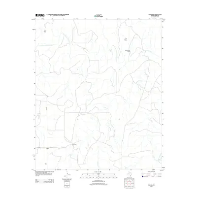
2012 Map of Polar
USGS Topo · Published 2012About this map
Polar and its surrounding ranchlands are defined by the winding course of the Double Mountain Fork Brazos River as it cuts through the Texas landscape. This 2012 survey illustrates a sparsely populated region where named landforms like Joe Smith Draw, Home Draw, and Schoolhouse Hollow reflect the history of local settlement and land use. The map provides clear detail for genealogists and local historians, pinpointing the Polar Cem and established family holdings such as the Connell Ranch.
Find a feature on this map
17 named features on this map. Tap any name to fly to it.
Don’t see what you’re looking for? This feature index may not catch every label — zoom into the map to look around manually.
Map Details
Editions of this 2012 Polar Map
This is the sole edition of this map. No revisions or reprints were ever made.
Other maps of this area

1954 · Lubbock
USGS Topo · 1:250,000

1954 · Big Spring
USGS Topo · 1:250,000

1958 · Big Spring
USGS Topo · 1:250,000

1969 · Cottonwood Creek
USGS Topo · 1:24,000

1969 · Justiceburg SE
USGS Topo · 1:24,000

1969 · Maverick Creek
USGS Topo · 1:24,000

1969 · Cooper Mountain
USGS Topo · 1:24,000

1969 · Clairemont West
USGS Topo · 1:24,000

1969 · T-O Creek
USGS Topo · 1:24,000

1969 · Flat Top Mountain
USGS Topo · 1:24,000