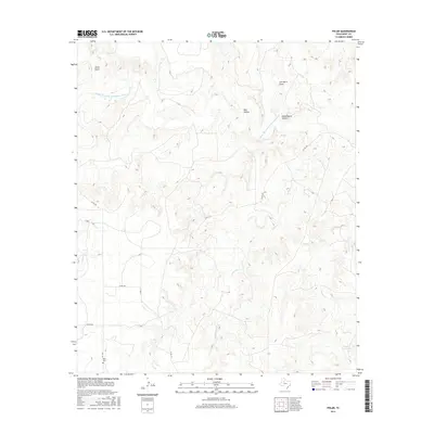
2016 Map of Polar
USGS Topo · Published 2016About this map
The Double Mountain Fork Brazos River snakes through this high-plains landscape, cutting deep relief into the West Texas terrain. The map documents a network of canyons and drainage features with evocative local names such as Shin Hollow, Joe Smith Draw, and Schoolhouse Hollow. These features reflect a legacy of ranching and early settlement where water sources and sheltered lowlands dictated the placement of homesteads and infrastructure.
Find a feature on this map
15 named features on this map. Tap any name to fly to it.
Don’t see what you’re looking for? This feature index may not catch every label — zoom into the map to look around manually.
Map Details
Editions of this 2016 Polar Map
This is the sole edition of this map. No revisions or reprints were ever made.
Other maps of this area

1954 · Lubbock
USGS Topo · 1:250,000

1954 · Big Spring
USGS Topo · 1:250,000

1958 · Big Spring
USGS Topo · 1:250,000

1969 · Cottonwood Creek
USGS Topo · 1:24,000

1969 · Justiceburg SE
USGS Topo · 1:24,000

1969 · Maverick Creek
USGS Topo · 1:24,000

1969 · Cooper Mountain
USGS Topo · 1:24,000

1969 · Clairemont West
USGS Topo · 1:24,000

1969 · T-O Creek
USGS Topo · 1:24,000

1969 · Flat Top Mountain
USGS Topo · 1:24,000