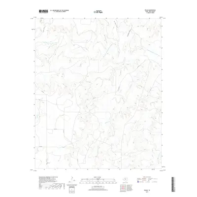
2019 Map of Polar
USGS Topo · Published 2019About this map
The Double Mountain Fork Brazos River carves through the northern reaches of this Kent County landscape, creating a complex network of drainage features. Deeply etched terrain is identified by local names such as Shin Hollow, Joe Smith Draw, and Schoolhouse Hollow, suggesting a history of early settlement and land use. In the southwest, the Polar Cem remains a primary landmark near the intersection of FM 1142 and Co RD 346. The map illustrates a rural environment defined by these seasonal waterways, including McKenzie Cr and Cooper Cr, and a sparse grid of county roads that navigate the varying elevations of the Texas plains.
Find a feature on this map
15 named features on this map. Tap any name to fly to it.
Don’t see what you’re looking for? This feature index may not catch every label — zoom into the map to look around manually.
Map Details
Editions of this 2019 Polar Map
This is the sole edition of this map. No revisions or reprints were ever made.
Other maps of this area

1954 · Lubbock
USGS Topo · 1:250,000

1954 · Big Spring
USGS Topo · 1:250,000

1958 · Big Spring
USGS Topo · 1:250,000

1969 · Cottonwood Creek
USGS Topo · 1:24,000

1969 · Justiceburg SE
USGS Topo · 1:24,000

1969 · Maverick Creek
USGS Topo · 1:24,000

1969 · Cooper Mountain
USGS Topo · 1:24,000

1969 · Clairemont West
USGS Topo · 1:24,000

1969 · T-O Creek
USGS Topo · 1:24,000

1969 · Flat Top Mountain
USGS Topo · 1:24,000