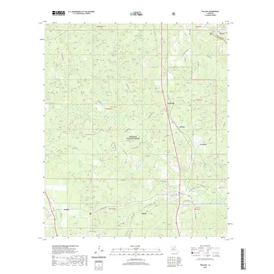
2020 Map of Pollock
USGS Topo · Published 2020About this map
Pollock and Bentley serve as the primary hubs in this central Louisiana landscape, where the southern reaches of the Kisatchie National Forest meet local homesteads and timberlands. The topography is defined by a dense network of creek drainages including Flagon Bayou, Big Cr, and Sugar Br, which have shaped the settlement patterns and road networks throughout Grant Parish and into La Salle Parish. Local history is anchored at sites like Pollock Cem and Guynes Cemetery, reflecting generations of family roots in the piney woods.
Find a feature on this map
69 named features on this map. Tap any name to fly to it.
Don’t see what you’re looking for? This feature index may not catch every label — zoom into the map to look around manually.
Map Details
Editions of this 2020 Pollock Map
This is the sole edition of this map. No revisions or reprints were ever made.
Other maps of this area

1932 · Colfax NE
USGS Topo · 1:31,680

1932 · Boyce NE
USGS Topo · 1:31,680

1932 · Colfax SE
USGS Topo · 1:31,680

1936 · Colfax
USGS Topo · 1:62,500

1936 · Pollock
USGS Topo · 1:62,500

1941 · Alexandria
USGS Topo · 1:62,500

1941 · Pollock
USGS Topo · 1:62,500

1941 · Boyce
USGS Topo · 1:62,500

1953 · Alexandria
USGS Topo · 1:250,000

1955 · Alexandria
USGS Topo · 1:250,000