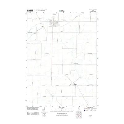
2012 Map of Polo
USGS Topo · Published 2012About this map
Polo anchors this section of Ogle County, revealing a grid of residential and commercial streets that form the primary hub of northwestern Illinois agricultural life. The map details the transition from the concentrated settlement at Polo southward through the historic Buffalo Grove area to the village of Woosung. This landscape is defined by its drainage network, where Buffalo Creek and Sevenmile Br navigate a terrain heavily partitioned by a precise grid of rural roads like W Penn Corner Rd and W Sterling Rd.
Find a feature on this map
64 named features on this map. Tap any name to fly to it.
Don’t see what you’re looking for? This feature index may not catch every label — zoom into the map to look around manually.
Map Details
Editions of this 2012 Polo Map
This is the sole edition of this map. No revisions or reprints were ever made.
Other maps of this area

1918 · Dixon
USGS Topo · 1:62,500

1922 · Oregon
USGS Topo · 1:62,500

1924 · Oregon
USGS Topo · 1:62,500

1930 · Woodsung
USGS Topo · 1:48,000

1942 · Forreston
USGS Topo · 1:62,500

1945 · Forreston
USGS Topo · 1:62,500

1946 · Sterling
USGS Topo · 1:62,500

1948 · Sterling
USGS Topo · 1:62,500

1950 · Dixon
USGS Topo · 1:62,500

1954 · Rockford
USGS Topo · 1:250,000