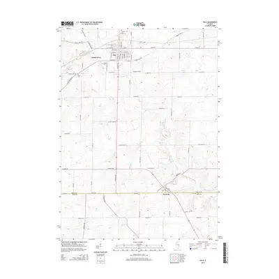
2015 Map of Polo
USGS Topo · Published 2015About this map
The city of Polo serves as the central hub of this landscape, situated at the junction of several key regional routes and the historic S Galena Trail Rd. North of the city, the Buffalo Grove area marks a significant historical settlement node, complemented by the Buffalo Grove Cem. The terrain is defined by a network of drainage systems, including the westward-flowing Buffalo Cr and the southern reaches of Sevenmile Br.
Find a feature on this map
70 named features on this map. Tap any name to fly to it.
Don’t see what you’re looking for? This feature index may not catch every label — zoom into the map to look around manually.
Map Details
Editions of this 2015 Polo Map
This is the sole edition of this map. No revisions or reprints were ever made.
Other maps of this area

1918 · Dixon
USGS Topo · 1:62,500

1922 · Oregon
USGS Topo · 1:62,500

1924 · Oregon
USGS Topo · 1:62,500

1930 · Woodsung
USGS Topo · 1:48,000

1942 · Forreston
USGS Topo · 1:62,500

1945 · Forreston
USGS Topo · 1:62,500

1946 · Sterling
USGS Topo · 1:62,500

1948 · Sterling
USGS Topo · 1:62,500

1950 · Dixon
USGS Topo · 1:62,500

1954 · Rockford
USGS Topo · 1:250,000