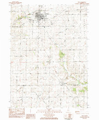
1983 Map of Polo
USGS Topo · Published 1984About this map
Polo serves as the primary hub of this Ogle County landscape, where the intersection of several historic thoroughfares like Galena Road and Oregon Road defined the town's early growth. The map illustrates a well-developed network of civic institutions, from the City Hall and Po to the Centennial Sch and local Library. Beyond the town grid, the terrain is shaped by the winding courses of Buffalo Creek and Sevenmile Branch, creating a patchwork of agricultural townships including Buffalo, Woosung, and Palmyra.
Find a feature on this map
54 named features on this map. Tap any name to fly to it.
Don’t see what you’re looking for? This feature index may not catch every label — zoom into the map to look around manually.
Map Details
Editions of this 1983 Polo Map
This is the sole edition of this map. No revisions or reprints were ever made.
Other maps of this area

1918 · Dixon
USGS Topo · 1:62,500

1922 · Oregon
USGS Topo · 1:62,500

1924 · Oregon
USGS Topo · 1:62,500

1930 · Woodsung
USGS Topo · 1:48,000

1942 · Forreston
USGS Topo · 1:62,500

1945 · Forreston
USGS Topo · 1:62,500

1946 · Sterling
USGS Topo · 1:62,500

1948 · Sterling
USGS Topo · 1:62,500

1950 · Dixon
USGS Topo · 1:62,500

1954 · Rockford
USGS Topo · 1:250,000