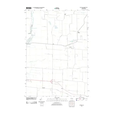
2010 Map of Polonia
USGS Topo · Published 2010About this map
Polonia and Ellis anchor a landscape defined by small Wisconsin settlements and a network of named waterways in this late-modern survey. The central region is marked by agricultural roads such as Cattle Ln and Rustic Dr, while the western edge follows the course of the Plover River. Human engineering on the river is noted by the Van Order 1907C157 Dam and the Jordan 1905c39 Dam, which created substantial impoundments at Van Order Pond 124 and Jordan Pond.
Find a feature on this map
58 named features on this map. Tap any name to fly to it.
Don’t see what you’re looking for? This feature index may not catch every label — zoom into the map to look around manually.
Map Details
Editions of this 2010 Polonia Map
This is the sole edition of this map. No revisions or reprints were ever made.
Other maps of this area

1955 · Rosholt
USGS Topo · 1:48,000

1955 · Green Bay
USGS Topo · 1:250,000

1956 · Stevens Point
USGS Topo · 1:48,000

1957 · Amherst
USGS Topo · 1:48,000

1957 · Whiting
USGS Topo · 1:48,000

1969 · Rosholt
USGS Topo · 1:24,000

1969 · New Hope
USGS Topo · 1:24,000

1969 · Arnott
USGS Topo · 1:24,000

1969 · Rosholt NW
USGS Topo · 1:24,000
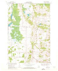
1969 · Polonia
USGS Topo · 1:24,000