2022 Map of Polonia
USGS Topo · Published 2022About this map
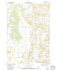
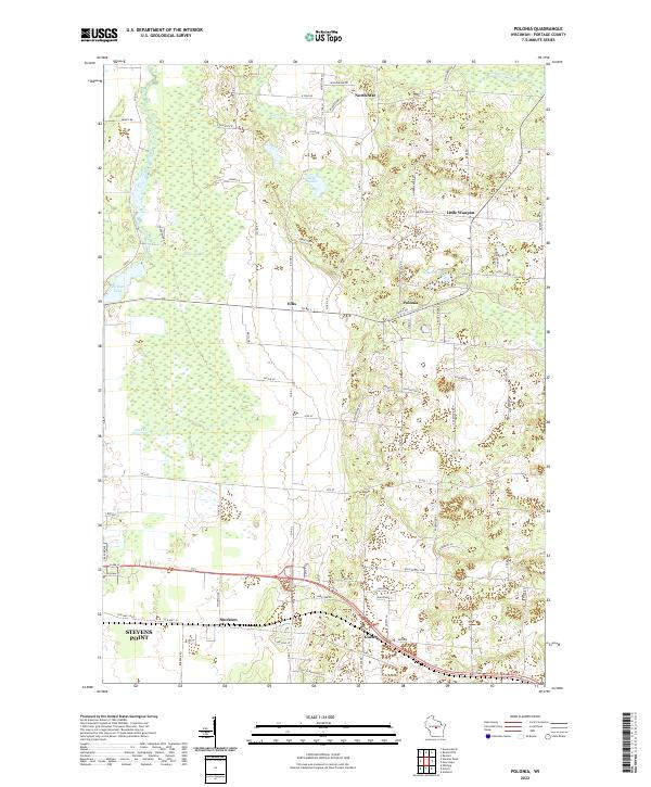
Polonia and its surrounding hamlets occupy a landscape of glacial depressions and winding waterways in central Wisconsin. This modern survey illustrates a transition from the eastern outskirts of Stevens Point toward the more agricultural and wooded townships of the interior. The terrain is defined by distinct water features, including the Jordan Swamp and Jordan Pond fed by the Plover River in the west, while the Tomorrow River clips the northeastern corner. Smaller settlements like Ellis, Custer, and Stockton are connected by a grid of rural roads and highways, including Old Hwy 18 Rd. The map also identifies local landmarks such as Bakers Lake and Oesterle Lake, which are characteristic of the pothole-lake geography found throughout Portage County. This area represents a well-established rural community where naming conventions like Little Waupon and North Star persist alongside the primary townships.
Find a feature on this map
56 named features on this map. Tap any name to fly to it.
Don’t see what you’re looking for? This feature index may not catch every label — zoom into the map to look around manually.
Map Details
Editions of this 2022 Polonia Map
This is the sole edition of this map. No revisions or reprints were ever made.