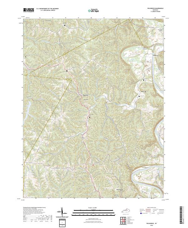
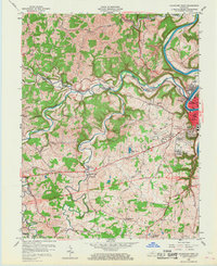
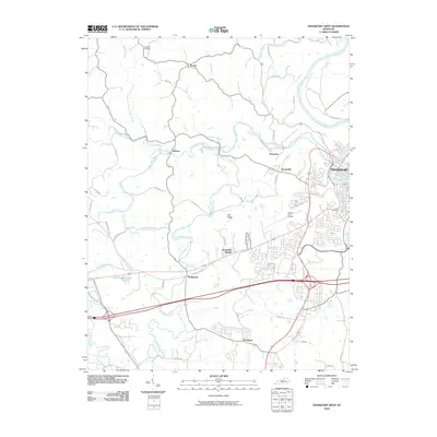
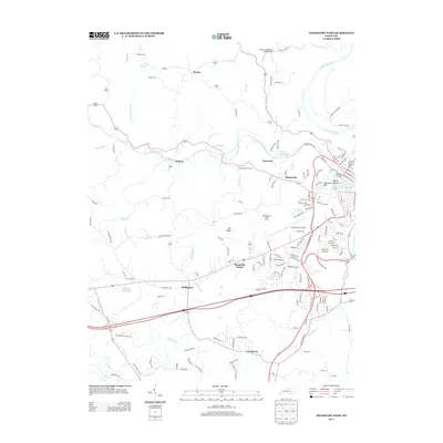
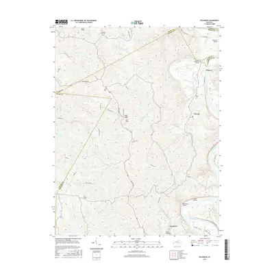
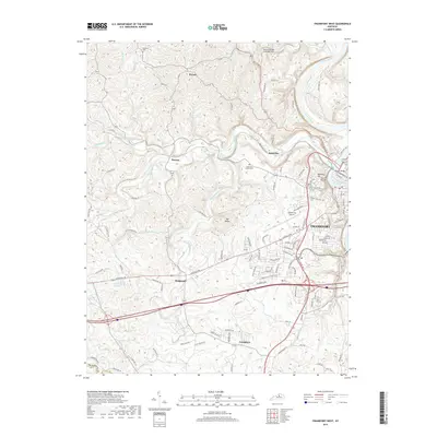
2022 Map of Polsgrove
USGS Topo · Published 2022About this map
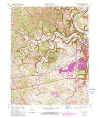
The Kentucky River winds along the eastern boundary of this Franklin County landscape, shaping the lowlands of Polsgrove Bottom and Scotts Bottom. The settlement of Polsgrove sits near the river's edge, while the interior terrain is defined by a dense network of ridges and hollows, including Grub Ridge and the aptly named Steamboat Hollow. This 2022 survey documents the persistent rural character of the region, where family-named cemeteries such as Adcock Cem, Bailey Cem, and Hutcherson Cem are scattered among small communities like Harvieland and Ottusville.
Find a feature on this map
75 named features on this map. Tap any name to fly to it.
Don’t see what you’re looking for? This feature index may not catch every label — zoom into the map to look around manually.
Map Details
Editions of this 2022 Polsgrove Map
This is the sole edition of this map. No revisions or reprints were ever made.
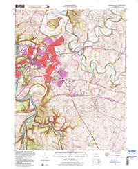
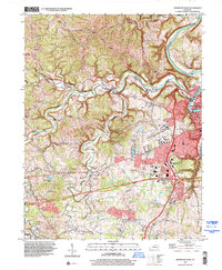
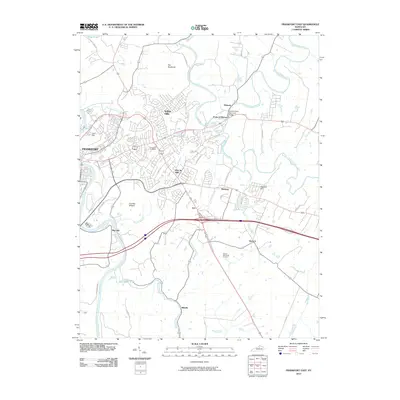
Historical Maps of Flag Fork Through Time
30 maps found
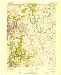
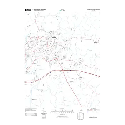
1953 Frankfort East
Franklin County, KY
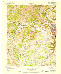
1953 Frankfort West
Franklin County, KY
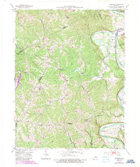
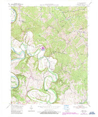
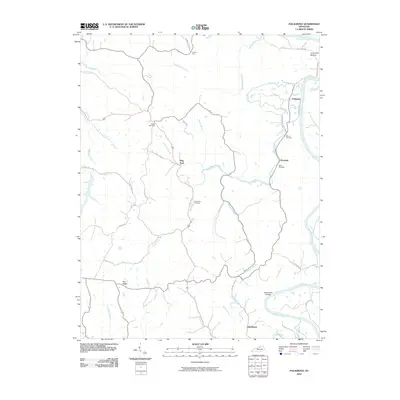
1953 Polsgrove
Franklin County, KY
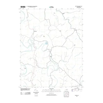
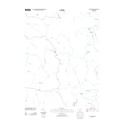
1954 Switzer
Franklin County, KY
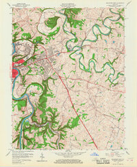
1959 Frankfort East
Franklin County, KY
1959 Frankfort West
Franklin County, KY
1970 Frankfort East
Franklin County, KY
1970 Frankfort West
Franklin County, KY
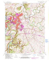
1996 Frankfort East
Franklin County, KY
1997 Frankfort West
Franklin County, KY
2010 Frankfort East
Franklin County, KY
2010 Frankfort West
Franklin County, KY
2010 Polsgrove
Franklin County, KY
2010 Switzer
Franklin County, KY
2013 Frankfort East
Franklin County, KY
2013 Frankfort West
Franklin County, KY
2013 Polsgrove
Franklin County, KY
2013 Switzer
Franklin County, KY
2016 Frankfort East
Franklin County, KY
2016 Frankfort West
Franklin County, KY
2016 Polsgrove
Franklin County, KY
2016 Switzer
Franklin County, KY
2019 Frankfort East
Franklin County, KY
2019 Frankfort West
Franklin County, KY
2019 Polsgrove
Franklin County, KY
2019 Switzer
Franklin County, KY
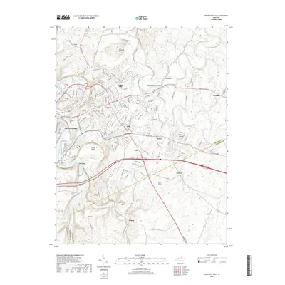
2022 Frankfort East
Franklin County, KY
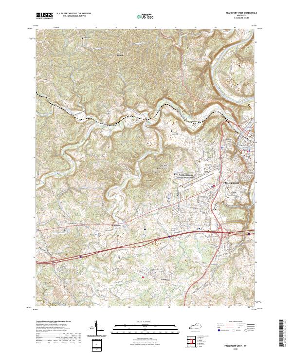
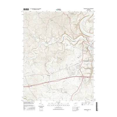
2022 Frankfort West
Franklin County, KY
2022 Polsgrove
Franklin County, KY
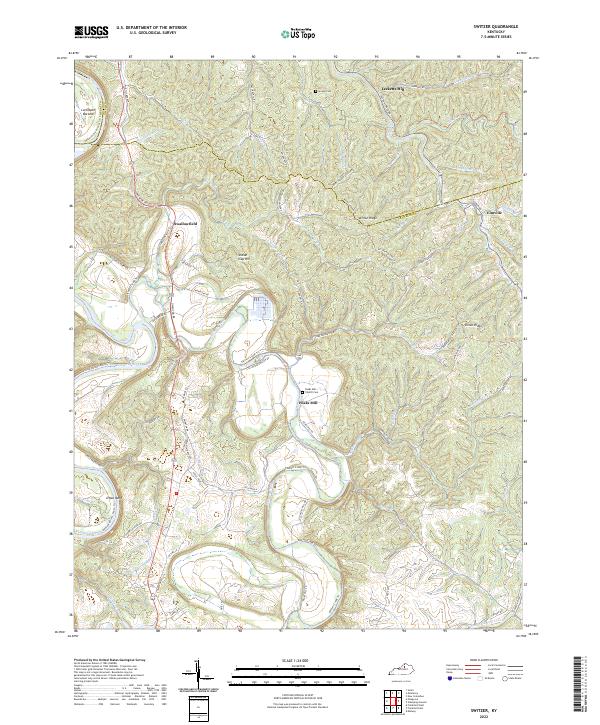
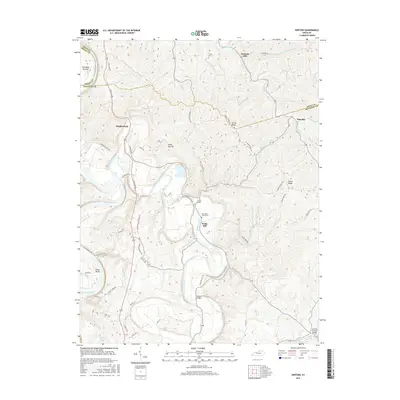
2022 Switzer
Franklin County, KY