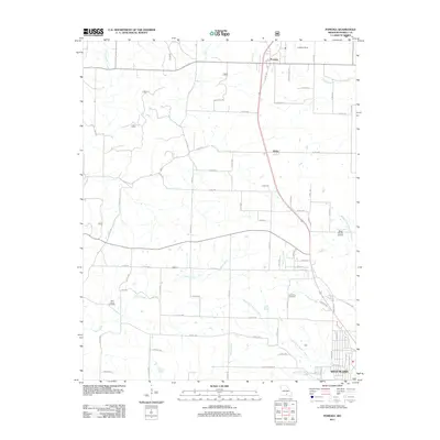
2011 Map of Pomona
USGS Topo · Published 2011About this map
The northern reaches of West Plains extend into this landscape, where the Missouri Ozarks terrain is defined by a dendritic network of creek beds. Historically significant corridors like Olden and Pomona serve as primary anchors along the north-south transit lines, including the winding path of Co Rd 1350. The map documents a blend of rural homesteading and infrastructure, with family history markers found at Lone Pine Cemetery and New Liberty Cemetery.
Find a feature on this map
62 named features on this map. Tap any name to fly to it.
Don’t see what you’re looking for? This feature index may not catch every label — zoom into the map to look around manually.
Map Details
Editions of this 2011 Pomona Map
This is the sole edition of this map. No revisions or reprints were ever made.
Other maps of this area

1938 · West Plains
USGS Topo · 1:24,000

1939 · Topaz
USGS Topo · 1:62,500

1940 · West Plains
USGS Topo · 1:24,000

1941 · Topaz
USGS Topo · 1:62,500

1944 · West Plains
USGS Topo · 1:62,500

1944 · Cureall
USGS Topo · 1:62,500

1945 · Harrison
USGS Topo · 1:250,000

1945 · Willow Springs
USGS Topo · 1:62,500

1946 · West Plains
USGS Topo · 1:62,500

1946 · Cureall
USGS Topo · 1:62,500