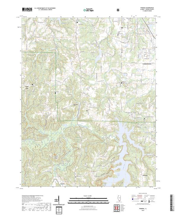
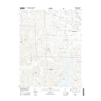
2024 Map of Pomona
USGS Topo · Published 2024About this map
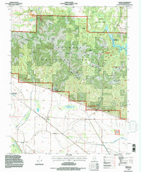
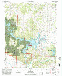
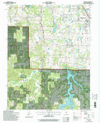
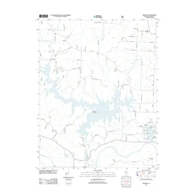
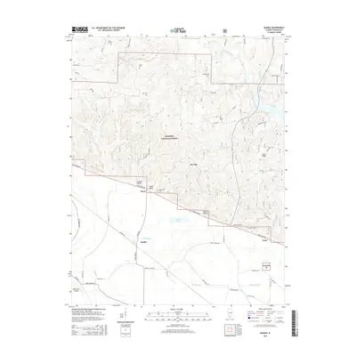
The Shawnee National Forest dominates the southern half of this Jackson County landscape, characterized by the winding valleys of Cave Creek and Bear Creek. A significant landmark of the region is the Pomona Natural Bridge, located just north of the village of Pomona. The terrain transitions from these wooded hills to the more developed edges of Carbondale in the northeast, where Pleasant Grove Memorial Cem and Mount Pleasant Cem lie near the city's suburban expansion.
Find a feature on this map
116 named features on this map. Tap any name to fly to it.
Don’t see what you’re looking for? This feature index may not catch every label — zoom into the map to look around manually.
Map Details
Editions of this 2024 Pomona Map
This is the sole edition of this map. No revisions or reprints were ever made.
Historical Maps of Carbondale Through Time
21 maps found
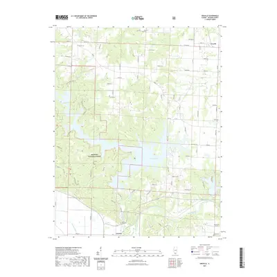
1948 Pomona
Jackson County, IL
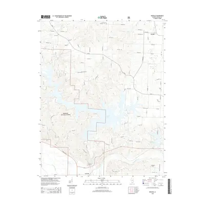
1968 Oraville
Jackson County, IL
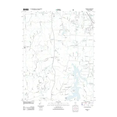
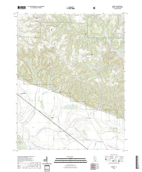
1968 Raddle
Jackson County, IL
1994 Raddle
Jackson County, IL
1996 Oraville
Jackson County, IL
1996 Pomona
Jackson County, IL
2012 Oraville
Jackson County, IL
2012 Pomona
Jackson County, IL
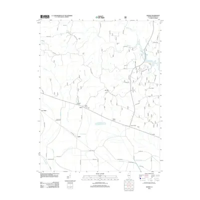
2012 Raddle
Jackson County, IL
2015 Oraville
Jackson County, IL
2015 Pomona
Jackson County, IL
2015 Raddle
Jackson County, IL
2018 Oraville
Jackson County, IL
2018 Pomona
Jackson County, IL
2018 Raddle
Jackson County, IL
2021 Oraville
Jackson County, IL
2021 Pomona
Jackson County, IL
2021 Raddle
Jackson County, IL
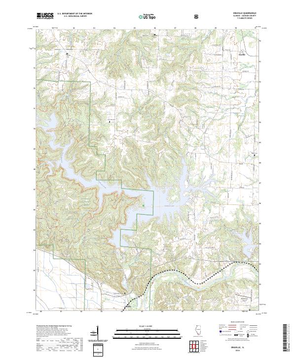
2024 Oraville
Jackson County, IL
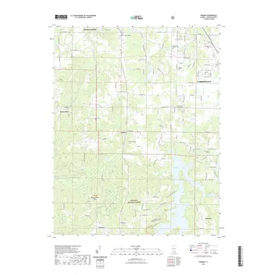
2024 Pomona
Jackson County, IL
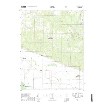
2024 Raddle
Jackson County, IL