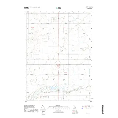
2019 Map of Pompeii
USGS Topo · Published 2019About this map
North Star and Pompeii anchor this rural Gratiot County landscape, where a dense network of agricultural drains and creeks defines the local topography. The Maple River flows across the southern portion of the sheet near Bridgeville, while the Bad River and Bear Cr drain the northern sections. This area is characterized by a high concentration of established family and community burial grounds, providing a significant resource for genealogical research. Documented cemeteries include North Star Cem, Barnes Cem, Hufford Cem, Collier Cem, Collister Cem, and Fritz Cem, many of which are situated along the section lines and early township roads. The mapping of artificial waterways like the Cook and Duncan Drain and Nile Drain among the natural flow of Ferdon Cr and Collier Cr illustrates the long-term management of this fertile wetland-adjacent terrain.
Find a feature on this map
47 named features on this map. Tap any name to fly to it.
Don’t see what you’re looking for? This feature index may not catch every label — zoom into the map to look around manually.
Map Details
Editions of this 2019 Pompeii Map
This is the sole edition of this map. No revisions or reprints were ever made.
Other maps of this area

1918 · Elsie
USGS Topo · 1:62,500

1918 · Perrinton
USGS Topo · 1:62,500

1934 · Merrill
USGS Topo · 1:62,500

1935 · Alma
USGS Topo · 1:62,500

1937 · Merrill
USGS Topo · 1:62,500

1938 · Alma
USGS Topo · 1:62,500

1943 · Perrinton
USGS Topo · 1:62,500

1943 · Elsie
USGS Topo · 1:62,500

1954 · Midland
USGS Topo · 1:250,000

1958 · Midland
USGS Topo · 1:250,000