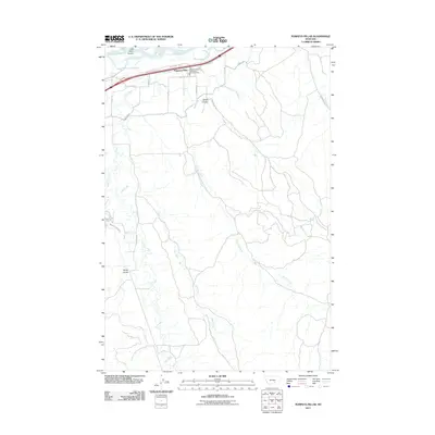
2011 Map of Pompeys Pillar
USGS Topo · Published 2011About this map
The Yellowstone River defines the northern boundary of this landscape, where the small settlement of Pompeys Pillar is positioned along a vital transportation corridor. The area south of the river is a network of drainage systems, including the long reaches of Fly Creek, Lost Boy Creek, and Deer Creek, which carve through the terrain to create distinctive features like Smith Coulee and Barley Coulee. Infrastructure in this part of Yellowstone County is centered around the Worden Vol Fire Dept Sta 3 and a series of rural roads such as S Pompeys Rd and Pine Ridge Rd. The presence of the Reservoir Line Canal and the Canal Rd further east indicates the importance of water management in this agricultural and ranching region. This survey captures the rural layout of the Montana plains, showing how early 21st-century development follows the natural contours of the river valley and its many tributary coulees.
Find a feature on this map
24 named features on this map. Tap any name to fly to it.
Don’t see what you’re looking for? This feature index may not catch every label — zoom into the map to look around manually.
Map Details
Editions of this 2011 Pompeys Pillar Map
This is the sole edition of this map. No revisions or reprints were ever made.
Other maps of this area

1893 · Huntley
USGS Topo · 1:125,000

1894 · Fort Custer
USGS Topo · 1:125,000

1954 · Billings
USGS Topo · 1:250,000

1954 · Hardin
USGS Topo · 1:250,000

1954 · Forsyth
USGS Topo · 1:250,000

1954 · Roundup
USGS Topo · 1:250,000

1957 · Hardin
USGS Topo · 1:250,000

1957 · Forsyth
USGS Topo · 1:250,000

1957 · Billings
USGS Topo · 1:250,000

1958 · Billings
USGS Topo · 1:250,000