2018 Map of Ponca City
USGS Topo · Published 2018About this map
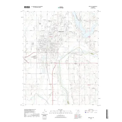
Ponca City serves as the focal point of this northern Oklahoma landscape, where the urban grid meets the winding course of the Arkansas River. This recent survey captures the city's modern layout, from the Ponca City Regional Airport in the northwest to the recreational waters of Lake Ponca on the eastern edge. To the south, the community of McCord sits near the confluence where the Salt Fork Arkansas River joins the main river channel, a significant hydrological junction for Kay and Osage Counties. Local history and genealogy are anchored by sites like Saint Mary's Catholic Cem, while the surrounding terrain is defined by numerous tributaries such as Bois d'Arc Creek and Turkey Creek. The map provides a contemporary view of this regional hub, detailing established neighborhoods alongside the industrial and agricultural infrastructure of the plains.
Find a feature on this map
78 named features on this map. Tap any name to fly to it.
Don’t see what you’re looking for? This feature index may not catch every label — zoom into the map to look around manually.
Map Details
Editions of this 2018 Ponca City Map
This is the sole edition of this map. No revisions or reprints were ever made.
Other maps of this area

1935 · Kaw
USGS Topo · 1:62,500

1936 · Belford
USGS Topo · 1:62,500

1955 · Enid
USGS Topo · 1:250,000

1958 · Enid
USGS Topo · 1:250,000

1963 · Charley Creek
USGS Topo · 1:24,000

1963 · Uncas
USGS Topo · 1:24,000

1968 · Marland
USGS Topo · 1:24,000

1968 · Ponca City NW
USGS Topo · 1:24,000

1968 · Ponca City SE
USGS Topo · 1:24,000

1968 · Kildare
USGS Topo · 1:24,000