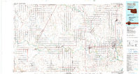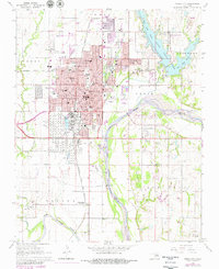
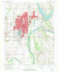
1968 Map of Ponca City
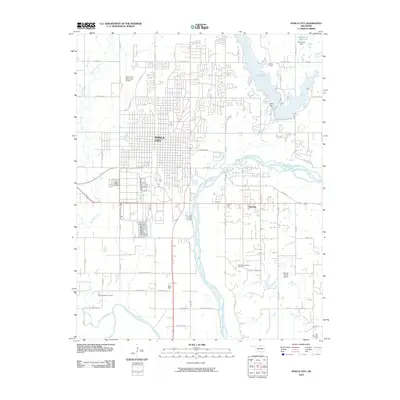
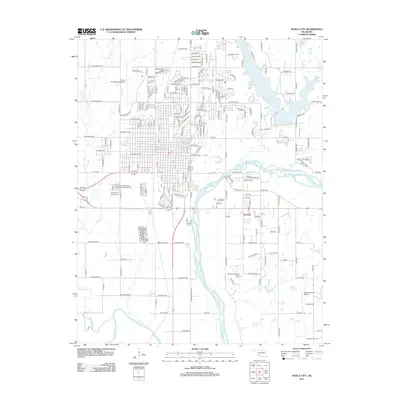
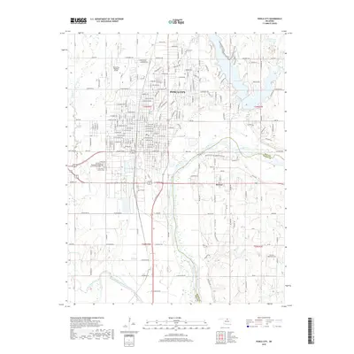
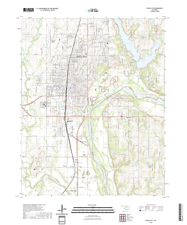
USGS Topo · Published 1979About this map
The industrial and civic expansion of Ponca City is clearly visible in this late 1960s survey, updated with late 1970s revisions. The city is defined by its massive energy infrastructure, anchored by a sprawling Oil Refinery and extensive Tank Farm south of the main residential center. The landscape is also marked by significant cultural landmarks, including the Pioneer Woman Monument and a dense network of local institutions like Lincoln Sch, St Marys Cem, and Odd Fellows Cem. To the east, the recreational waters of Lake Ponca contrast with the heavy industry of the Oil Field to the south. The southern edge of the map follows the winding course of the Arkansas River and its junction with the Salt Fork Arkansas River, near the Osage Indian Reservation Boundary and the White Eagle (Station).
Find a feature on this map
67 named features on this map. Tap any name to fly to it.
Don’t see what you’re looking for? This feature index may not catch every label — zoom into the map to look around manually.
Map Details
Editions of this 1968 Ponca City Map
2 editions found
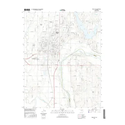
Historical Maps of Ponca City Through Time
7 maps found