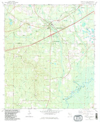
1982 Map of Ponce De Leon
USGS Topo · Published 1983About this map
Ponce de Leon serves as the focal point of this North Florida landscape, where the Seaboard railroad intersects with the Ponce De Leon Springs State Recreation Area. The map reveals a deeply established rural community defined by a high density of country churches and family landmarks, such as Andrew Chapel, Knox Hill Ch, and the settlement of Douglass Crossroads. To the south, the terrain descends toward the Choctawhatchee River, which forms a natural boundary near Yellow Bluff and Elliot Landing. The map illustrates a shift from the upland ridges like Gopher Ridge to the complex wetlands of Jenkins Bay and Wolf Bay. Cultural markers like the pipeline and scattered claypits indicate the local industry and infrastructure supporting these Panhandle communities in the early 1980s.
Find a feature on this map
64 named features on this map. Tap any name to fly to it.
Don’t see what you’re looking for? This feature index may not catch every label — zoom into the map to look around manually.
Map Details
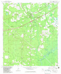
Editions of this 1982 Ponce De Leon Map
2 editions found
Other maps of this area

1935 · De Funiak Springs
USGS Topo · 1:48,000

1938 · De Funiak Springs
USGS Topo · 1:62,500

1948 · Ponce De Leon
USGS Topo · 1:24,000

1949 · Glendale
USGS Topo · 1:62,500

1949 · Millers Ferry
USGS Topo · 1:24,000

1949 · Redbay
USGS Topo · 1:24,000

1949 · Hinsons Cross Roads
USGS Topo · 1:24,000

1949 · Caryville
USGS Topo · 1:24,000

1950 · Prosperity
USGS Topo · 1:24,000

1950 · Millers Ferry
USGS Topo · 1:24,000