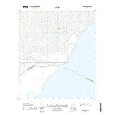
2018 Map of Ponchatoula SE
USGS Topo · Published 2018About this map
The Tangipahoa River and Bedico Creek converge as they drain into the expansive waters of Lake Pontchartrain, defining a landscape of transition between riverine and coastal environments. This 2018 survey documents the intricate network of natural and engineered waterways that carve through the wetlands, including Mays Bayou, Stinking Bayou, and Middle Bayou.
Find a feature on this map
20 named features on this map. Tap any name to fly to it.
Don’t see what you’re looking for? This feature index may not catch every label — zoom into the map to look around manually.
Map Details
Editions of this 2018 Ponchatoula SE Map
This is the sole edition of this map. No revisions or reprints were ever made.
Other maps of this area

1891 · Spanish Fort
USGS Topo · 1:62,500

1892 · Bonnet Carre
USGS Topo · 1:62,500

1935 · Covington
USGS Topo · 1:62,500

1935 · Ponchatoula
USGS Topo · 1:62,500

1936 · Ruddock
USGS Topo · 1:31,680

1936 · Bonnet Carre
USGS Topo · 1:62,500

1936 · Spanish Fort
USGS Topo · 1:62,500

1939 · Ponchatoula
USGS Topo · 1:62,500

1939 · Covington
USGS Topo · 1:62,500

1950 · Covington
USGS Topo · 1:62,500