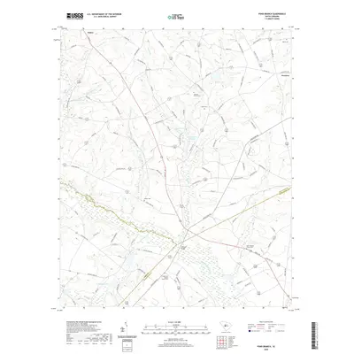
2020 Map of Pond Branch
USGS Topo · Published 2020About this map
The North Fork Edisto River carves a winding path through this corner of the South Carolina Midlands, marking the border between Lexington and Orangeburg counties. Near the town of Swansea, the landscape is defined by its historic water bodies and mill sites, including Pooles Upper Millpond and Brooker Pond. These features, along with crossings like Jeffcoat Bridge, reflect an era of rural industry and agriculture that shaped the local community.
Find a feature on this map
103 named features on this map. Tap any name to fly to it.
Don’t see what you’re looking for? This feature index may not catch every label — zoom into the map to look around manually.
Map Details
Editions of this 2020 Pond Branch Map
This is the sole edition of this map. No revisions or reprints were ever made.
Other maps of this area

1944 · Gilbert
USGS Topo · 1:62,500

1944 · Seivern
USGS Topo · 1:62,500

1944 · Edmund
USGS Topo · 1:62,500

1946 · Woodford
USGS Topo · 1:62,500

1954 · Augusta
USGS Topo · 1:250,000

1957 · Augusta
USGS Topo · 1:250,000

1958 · Augusta
USGS Topo · 1:250,000

1961 · Augusta
USGS Topo · 1:250,000

1962 · Augusta
USGS Topo · 1:250,000
1972 · Pelion East
USGS Topo · 1:24,000