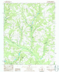
1986 Map of Pond Branch
USGS Topo · Published 1986This historical map portrays the area of Pond Branch in 1986, primarily covering Lexington County as well as portions of Aiken County and Orangeburg County. Featuring a scale of 1:24000, this map provides a highly detailed snapshot of the terrain, roads, buildings, counties, and historical landmarks in the Pond Branch region at the time. Published in 1986, it is the sole known edition of this map.
Find a feature on this map
24 named features on this map. Tap any name to fly to it.
Don’t see what you’re looking for? This feature index may not catch every label — zoom into the map to look around manually.
Map Details
Editions of this 1986 Pond Branch Map
This is the sole edition of this map. No revisions or reprints were ever made.
Historical Maps of Aiken County Through Time
9 maps found

1971 Lake Murray East
Lexington County, SC
1971 Lake Murray West
Lexington County, SC

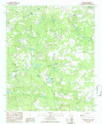
1972 Pelion East
Lexington County, SC
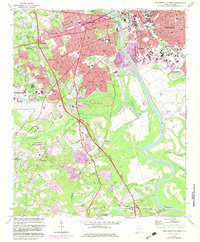
1972 Southwest Columbia
Lexington County, SC

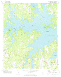
1986 Barr Lake
Lexington County, SC

1986 Pelion West
Lexington County, SC
1986 Pond Branch
Lexington County, SC
1986 Steedman
Lexington County, SC

1994 Southwest Columbia
Lexington County, SC