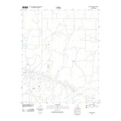
2010 Map of Pond Creek
USGS Topo · Published 2010About this map
The North Fork Red River carves through the southern landscape of this Texas Panhandle quadrangle, creating a series of intricate drainage patterns such as Devils Gulch and Stage Hollow. The settlement of Denworth sits along the western edge, connected by FM 1321 and Ranch Rd 3321, reflecting the region’s traditional ranching roots. Several large, named operations define the land use, including Webb Ranch, Huselby Ranch, and Harnes Ranch.
Find a feature on this map
31 named features on this map. Tap any name to fly to it.
Don’t see what you’re looking for? This feature index may not catch every label — zoom into the map to look around manually.
Map Details
Editions of this 2010 Pond Creek Map
This is the sole edition of this map. No revisions or reprints were ever made.
Other maps of this area

1954 · Amarillo
USGS Topo · 1:250,000

1958 · Amarillo
USGS Topo · 1:250,000

1962 · Hudgens Ranch
USGS Topo · 1:24,000

1962 · Back
USGS Topo · 1:24,000

1962 · Pond Creek
USGS Topo · 1:24,000

1962 · Spring Creek
USGS Topo · 1:24,000

1962 · Pakan
USGS Topo · 1:24,000

1962 · Pond Creek NW
USGS Topo · 1:24,000

1963 · Mobeetie
USGS Topo · 1:24,000

1966 · Laketon
USGS Topo · 1:24,000