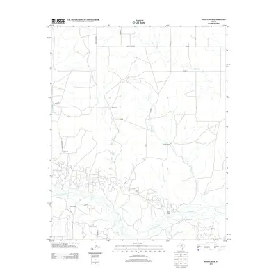
2012 Map of Pond Creek
USGS Topo · Published 2012About this map
The N Fork Red River snakes through the southern reaches of this Panhandle landscape, defining the rugged hydrology of Gray County. The river valley is punctuated by unique landforms such as Devils Gulch and Stage Hollow, while the surrounding plains are marked by a network of ranching operations including Webb Ranch, Harnes Ranch, and Huselby Ranch. These family-named holdings reflect the long-standing agricultural tradition of the region, where water sources like White Horse Spring and Tadpole Lake were vital for livestock.
Find a feature on this map
35 named features on this map. Tap any name to fly to it.
Don’t see what you’re looking for? This feature index may not catch every label — zoom into the map to look around manually.
Map Details
Editions of this 2012 Pond Creek Map
This is the sole edition of this map. No revisions or reprints were ever made.
Other maps of this area

1954 · Amarillo
USGS Topo · 1:250,000

1958 · Amarillo
USGS Topo · 1:250,000

1962 · Hudgens Ranch
USGS Topo · 1:24,000

1962 · Back
USGS Topo · 1:24,000

1962 · Pond Creek
USGS Topo · 1:24,000

1962 · Spring Creek
USGS Topo · 1:24,000

1962 · Pakan
USGS Topo · 1:24,000

1962 · Pond Creek NW
USGS Topo · 1:24,000

1963 · Mobeetie
USGS Topo · 1:24,000

1966 · Laketon
USGS Topo · 1:24,000