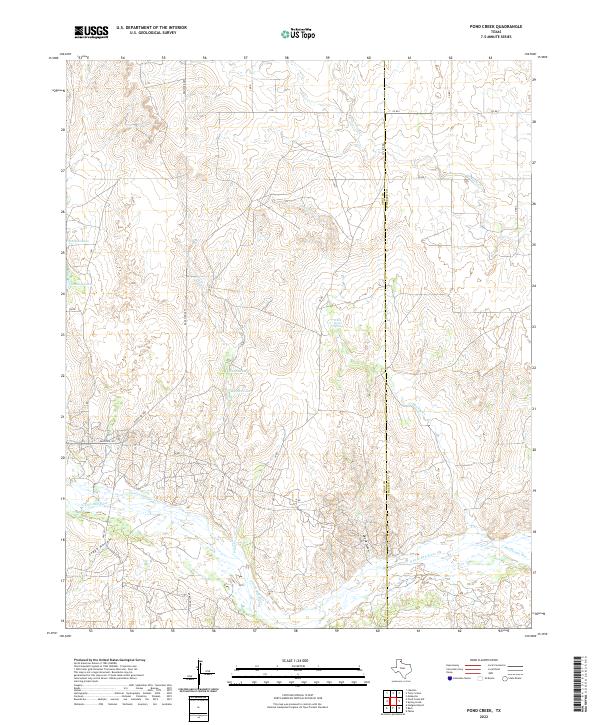
2022 Map of Pond Creek
USGS Topo · Published 2022About this map
The N Fork Red River flows across this Panhandle landscape, where the boundary between Gray Co and Wheeler Co marks a transition from open ranchland to more complex drainage patterns. Significant water sources like White Horse Spring and the named depressions of Tadpole Lake and Haynes Lake indicate the critical role of surface water in this arid region. The drainage network is dense with named tributaries including Pond Cr, Huselby Cr, and Cantonment Cr, each cutting through the terrain to create distinctive features such as Devils Gulch and Stage Hollow. Transportation is defined by a grid of ranch roads, notably Ranch Rd 2857 and Ranch Rd 1321, which provide access to these remote draws and intermittent water bodies like Franklin Lakes and Gething Lakes.
Find a feature on this map
26 named features on this map. Tap any name to fly to it.
Don’t see what you’re looking for? This feature index may not catch every label — zoom into the map to look around manually.
Map Details
Editions of this 2022 Pond Creek Map
This is the sole edition of this map. No revisions or reprints were ever made.
Other maps of this area

1954 · Amarillo
USGS Topo · 1:250,000

1958 · Amarillo
USGS Topo · 1:250,000

1962 · Hudgens Ranch
USGS Topo · 1:24,000

1962 · Back
USGS Topo · 1:24,000

1962 · Pond Creek
USGS Topo · 1:24,000

1962 · Spring Creek
USGS Topo · 1:24,000

1962 · Pakan
USGS Topo · 1:24,000

1962 · Pond Creek NW
USGS Topo · 1:24,000

1963 · Mobeetie
USGS Topo · 1:24,000

1966 · Laketon
USGS Topo · 1:24,000