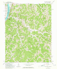
1960 Map of Pond Creek
USGS Topo · Published 1972About this map
Belleville and the fertile Belleville Bottom overlook the Ohio River in this 1960 survey, where the Baltimore and Ohio railroad tracks parallel the water. The landscape is defined by its ridge systems, including Harris Ridge and Bailey Ridge, which separate the numerous hollows and creek forks that drain toward the river. This era shows a community deeply tied to the land and sub-surface resources, evidenced by the proliferation of Gas Wells and Oil Wells scattered through the hills near Pond Creek and Flinn.
Find a feature on this map
97 named features on this map. Tap any name to fly to it.
Don’t see what you’re looking for? This feature index may not catch every label — zoom into the map to look around manually.
Map Details
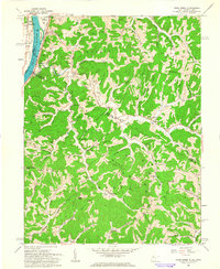
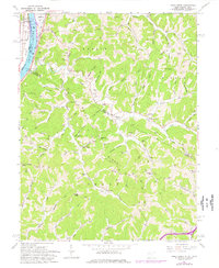
Editions of this 1960 Pond Creek Map
3 editions found
Other maps of this area

1906 · Belleville
USGS Topo · 1:62,500

1907 · Keno
USGS Topo · 1:62,500

1907 · Ripley
USGS Topo · 1:62,500

1908 · Ravenswood
USGS Topo · 1:62,500

1924 · Belleville
USGS Topo · 1:62,500

1926 · Ravenswood
USGS Topo · 1:62,500

1926 · Belleville
USGS Topo · 1:62,500

1926 · Ripley
USGS Topo · 1:62,500

1928 · Ravenswood
USGS Topo · 1:62,500

1928 · Ripley
USGS Topo · 1:62,500