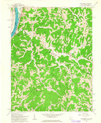
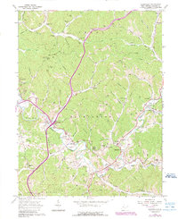
1960 Map of Pond Creek
USGS Topo · Published 1964About this map
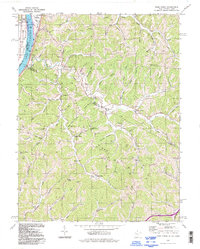
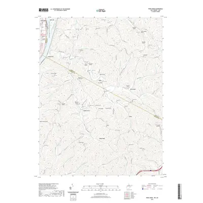
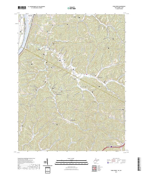
The Ohio River forms the western boundary of this 1960 landscape, where the Baltimore and Ohio railroad tracks parallel the water through Reedsville and past Belleville. The terrain is defined by a dense network of ridges such as Milhoan Ridge and Duch Ridge, punctuated by high points like Buzzard Roost Knob and Shafer Knob. Numerous small hollows and creek branches carve the land, creating a pattern of isolated settlements and family homesteads.
Find a feature on this map
90 named features on this map. Tap any name to fly to it.
Don’t see what you’re looking for? This feature index may not catch every label — zoom into the map to look around manually.
Map Details
Editions of this 1960 Pond Creek Map
3 editions found
Historical Maps of Jerrys Run Through Time
39 maps found

1906 Kenna
Jackson County, WV
1907 Kenna
Jackson County, WV
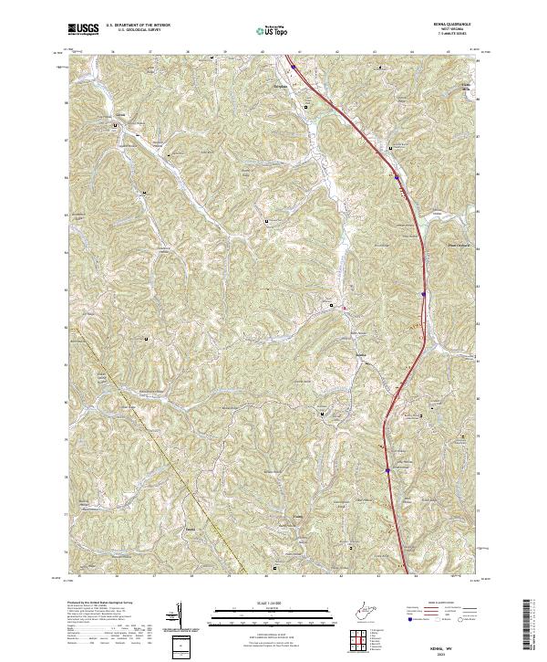
1957 Kenna
Jackson County, WV
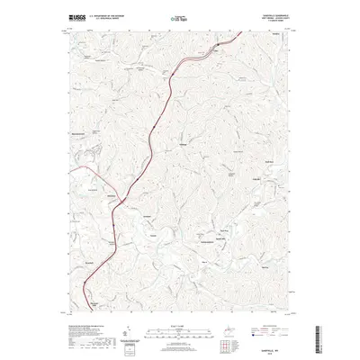
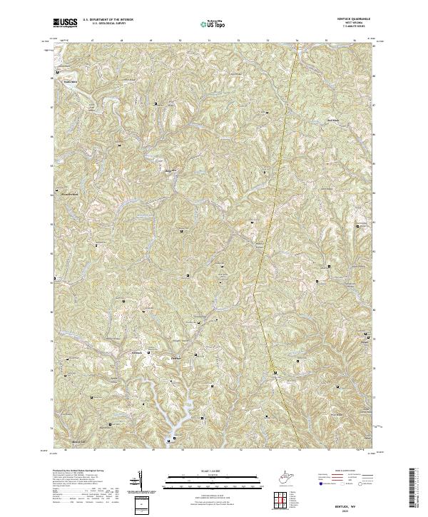
1957 Kentuck
Jackson County, WV
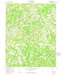
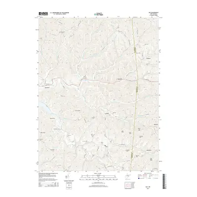
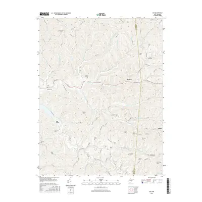
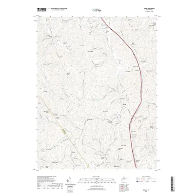
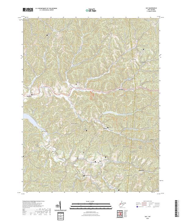
1960 Gay
Jackson County, WV
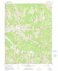
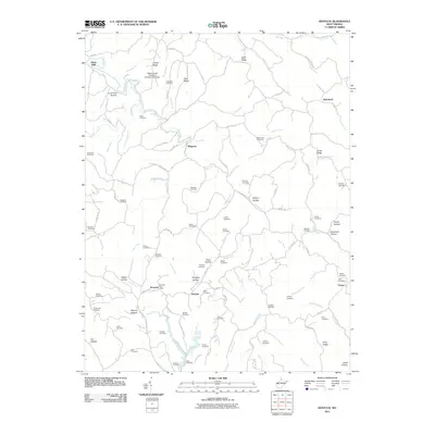
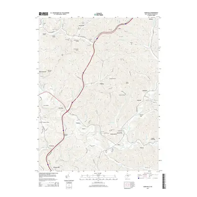
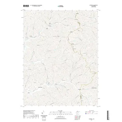
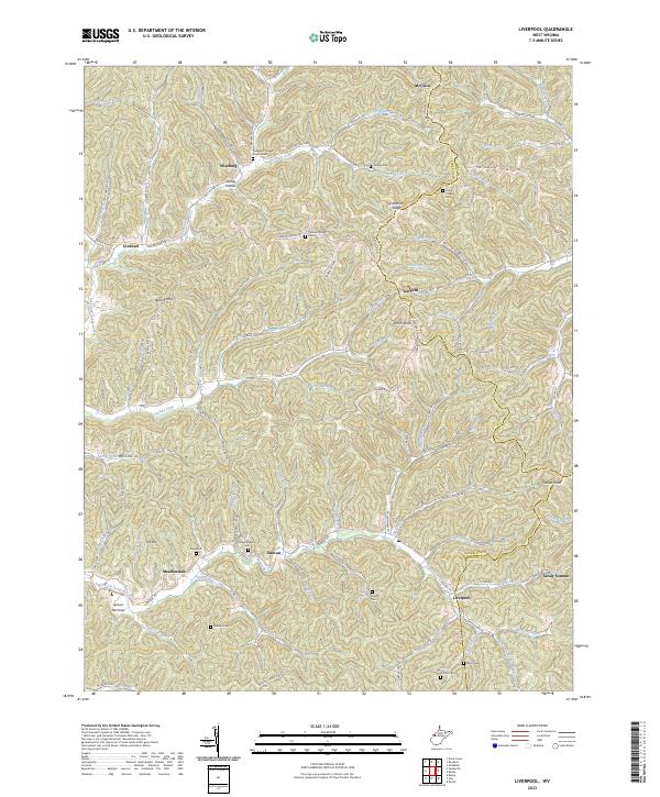
1960 Liverpool
Jackson County, WV
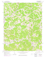
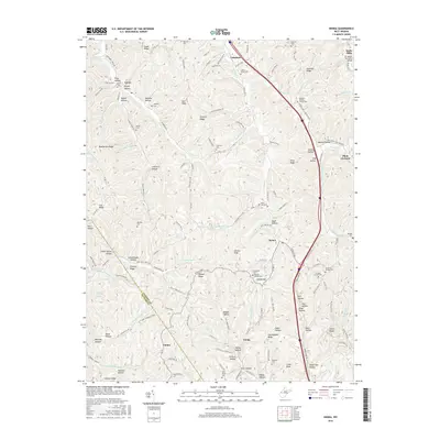
1960 Pond Creek
Jackson County, WV
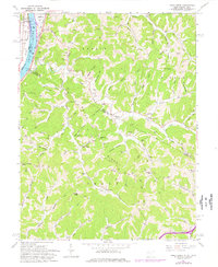
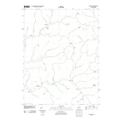
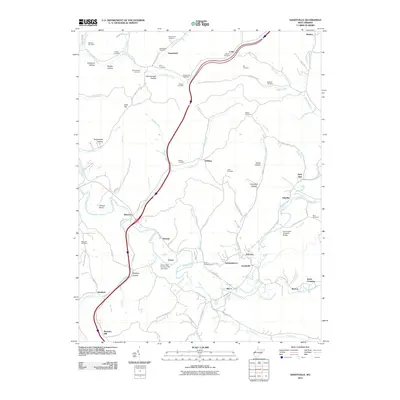
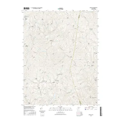
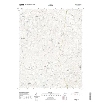
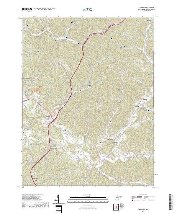
1960 Sandyville
Jackson County, WV
1994 Pond Creek
Jackson County, WV
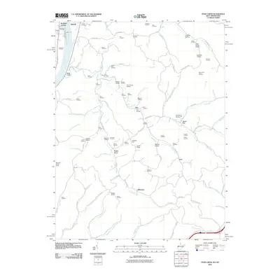
2010 Pond Creek
Jackson County, WV
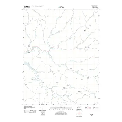
2011 Gay
Jackson County, WV

2011 Kenna
Jackson County, WV
2011 Kentuck
Jackson County, WV
2011 Liverpool
Jackson County, WV
2011 Sandyville
Jackson County, WV
2014 Gay
Jackson County, WV
2014 Kenna
Jackson County, WV
2014 Kentuck
Jackson County, WV
2014 Liverpool
Jackson County, WV
2014 Pond Creek
Jackson County, WV
2014 Sandyville
Jackson County, WV
2016 Gay
Jackson County, WV
2016 Kenna
Jackson County, WV
2016 Kentuck
Jackson County, WV
2016 Liverpool
Jackson County, WV
2016 Pond Creek
Jackson County, WV
2016 Sandyville
Jackson County, WV
2019 Gay
Jackson County, WV
2019 Kenna
Jackson County, WV
2019 Kentuck
Jackson County, WV
2019 Liverpool
Jackson County, WV
2019 Pond Creek
Jackson County, WV
2019 Sandyville
Jackson County, WV
2023 Gay
Jackson County, WV
2023 Kenna
Jackson County, WV
2023 Kentuck
Jackson County, WV
2023 Liverpool
Jackson County, WV
2023 Pond Creek
Jackson County, WV
2023 Sandyville
Jackson County, WV