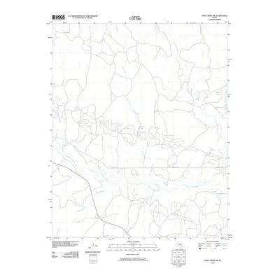
2010 Map of Pond Creek NW
USGS Topo · Published 2010About this map
The North Fork Red River snakes across the southern portion of this landscape, carving a primary drainage path through the plains of Gray County. This 2010 USGS survey documents the complex network of intermittent streams and coulees that feed the river system, including Sand Creek, Cantonment Creek, and Red Mud Creek. The map provides a detailed view of the regional ranching infrastructure, defined by a grid of rural roads such as Ranch Rd 1321 and Co Rd 23 that navigate the varied terrain. Smaller water bodies like Franklin Lakes and Gething Lakes appear in the eastern reaches, highlighting specific points of water collection in an otherwise arid environment. The abundance of unpaved tracks and localized named features like Cabin Creek offers a clear perspective on the land use and drainage patterns characteristic of the Texas Panhandle during the early twenty-first century.
Find a feature on this map
12 named features on this map. Tap any name to fly to it.
Don’t see what you’re looking for? This feature index may not catch every label — zoom into the map to look around manually.
Map Details
Editions of this 2010 Pond Creek NW Map
This is the sole edition of this map. No revisions or reprints were ever made.
Other maps of this area

1954 · Amarillo
USGS Topo · 1:250,000

1958 · Amarillo
USGS Topo · 1:250,000

1962 · Hudgens Ranch
USGS Topo · 1:24,000

1962 · Back
USGS Topo · 1:24,000

1962 · Pond Creek
USGS Topo · 1:24,000

1962 · Pond Creek NW
USGS Topo · 1:24,000

1966 · Laketon
USGS Topo · 1:24,000

1967 · Lefors
USGS Topo · 1:24,000

1967 · Hoover
USGS Topo · 1:24,000

1967 · Tody School
USGS Topo · 1:24,000