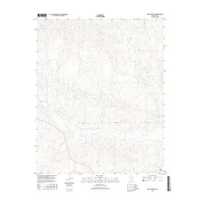
2016 Map of Pond Creek NW
USGS Topo · Published 2016About this map
The N Fork Red River meanders across this Gray County landscape, where the seasonal hydrology of the Texas Panhandle is clearly visible through a network of dry washes and braided channels. Water management and local terrain are defined by features such as Gething Lakes and the drainage of Cantonment Cr, while the winding Stage Hollow provides a distinct break in the local elevation. This 2016 survey illustrates the modern rural infrastructure of the region, anchored by the path of Ranch Rd 1321 and various county roads that navigate the complex network of creeks, including Sand Cr, Red Mud Cr, and Cabin Cr. The map captures a territory where ranching and local transit rely heavily on the natural contours formed by these tributary systems feeding into the Red River basin.
Find a feature on this map
12 named features on this map. Tap any name to fly to it.
Don’t see what you’re looking for? This feature index may not catch every label — zoom into the map to look around manually.
Map Details
Editions of this 2016 Pond Creek NW Map
This is the sole edition of this map. No revisions or reprints were ever made.
Other maps of this area

1954 · Amarillo
USGS Topo · 1:250,000

1958 · Amarillo
USGS Topo · 1:250,000

1962 · Hudgens Ranch
USGS Topo · 1:24,000

1962 · Back
USGS Topo · 1:24,000

1962 · Pond Creek
USGS Topo · 1:24,000

1962 · Pond Creek NW
USGS Topo · 1:24,000

1966 · Laketon
USGS Topo · 1:24,000

1967 · Lefors
USGS Topo · 1:24,000

1967 · Hoover
USGS Topo · 1:24,000

1967 · Tody School
USGS Topo · 1:24,000