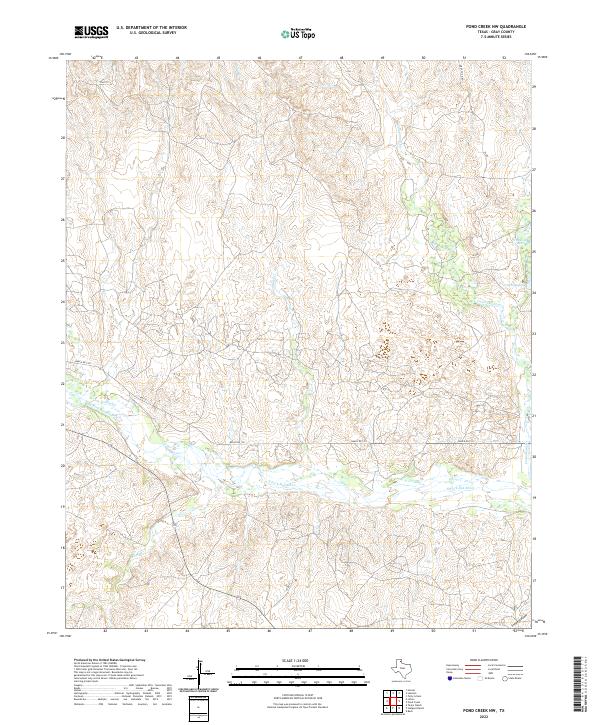
2022 Map of Pond Creek NW
USGS Topo · Published 2022About this map
The N Fork Red River carves a broad valley through this section of the Texas Panhandle, defining a landscape of complex drainage systems and semi-arid terrain. This modern topographic survey highlights a network of ephemeral and perennial watercourses, including Sand Cr and Cantonment Cr, which feed into the river basin. The appearance of Franklin Lakes and Gething Lakes in the northeastern quadrant suggests localized catchments or developed water features within the ranchlands. Smaller tributaries like Red Mud Cr and Cabin Cr illustrate the intricate erosional patterns typical of the region. The map also documents the sparse but vital transport network, notably Ranch Rd 1321 and FM 1321, which provide the primary access to the remote ranching properties and the distinct geological feature of Stage Hollow.
Find a feature on this map
13 named features on this map. Tap any name to fly to it.
Don’t see what you’re looking for? This feature index may not catch every label — zoom into the map to look around manually.
Map Details
Editions of this 2022 Pond Creek NW Map
This is the sole edition of this map. No revisions or reprints were ever made.
Other maps of this area

1954 · Amarillo
USGS Topo · 1:250,000

1958 · Amarillo
USGS Topo · 1:250,000

1962 · Hudgens Ranch
USGS Topo · 1:24,000

1962 · Back
USGS Topo · 1:24,000

1962 · Pond Creek
USGS Topo · 1:24,000

1962 · Pond Creek NW
USGS Topo · 1:24,000

1966 · Laketon
USGS Topo · 1:24,000

1967 · Lefors
USGS Topo · 1:24,000

1967 · Hoover
USGS Topo · 1:24,000

1967 · Tody School
USGS Topo · 1:24,000