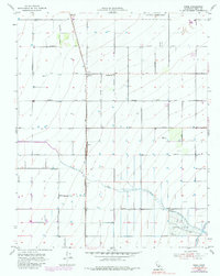
1953 Map of Pond
USGS Topo · Published 1986About this map
The agricultural landscape of Kern County is meticulously documented in this mid-century survey, defined by a rigid grid of orchards and irrigation infrastructure. The Atchison Topeka and Santa Fe railroad serves as the primary north-south artery, anchoring the small settlements of Kernell, Pond, and Elmo. These rail-side communities supported the surrounding farmstead operations, which rely on the water management systems evident near Poso Creek and the southern Seepage Ponds.
Find a feature on this map
20 named features on this map. Tap any name to fly to it.
Don’t see what you’re looking for? This feature index may not catch every label — zoom into the map to look around manually.
Map Details
Editions of this 1953 Pond Map
4 editions found
Other maps of this area

1927 · McFarland
USGS Topo · 1:31,680

1929 · Delano
USGS Topo · 1:31,680

1929 · Stone
USGS Topo · 1:31,680

1929 · Allensworth
USGS Topo · 1:31,680

1930 · McFarland
USGS Topo · 1:31,680

1930 · Leonards
USGS Topo · 1:31,680

1930 · Hamlin School
USGS Topo · 1:31,680

1930 · Wasco
USGS Topo · 1:31,680

1930 · Pond
USGS Topo · 1:31,680

1930 · Famoso
USGS Topo · 1:31,680